Everest is a city in Brown County, Kansas, United States. As of the 2020 census, the population of the city was 265.

Bird City is a city in Cheyenne County, Kansas, United States. As of the 2020 census, the population of the city was 437.

Gridley is a city in Coffey County, Kansas, United States. As of the 2020 census, the population of the city was 313.

Gove City, more commonly known as Gove, is a city in and the county seat of Gove County, Kansas, United States. As of the 2020 census, the population of the city was 80.
Grinnell is a city in Gove County, Kansas, United States. As of the 2020 census, the population of the city was 260.

Nortonville is a city in Jefferson County, Kansas, United States. As of the 2020 census, the population of the city was 601.

Formoso is a city in Jewell County, Kansas, United States. As of the 2020 census, the population of the city was 94.

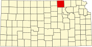
Axtell is a city in Marshall County, Kansas, United States. As of the 2020 census, the population of the city was 399.

Lyndon is a city in and the county seat of Osage County, Kansas, United States. As of the 2020 census, the population of the city was 1,037.

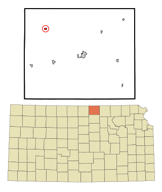
Atwood is a city in and the county seat of Rawlins County, Kansas, United States. As of the 2020 census, the population of the city was 1,290.

Belleville is a city in and the county seat of Republic County, Kansas, United States. As of the 2020 census, the population of the city was 2,007.

Munden is a city in Republic County, Kansas, United States. As of the 2020 census, the population of the city was 96.

Narka is a city in Republic County, Kansas, United States. As of the 2020 census, the population of the city was 81.
Republic is a city in Republic County, Kansas, United States. As of the 2020 census, the population of the city was 82.
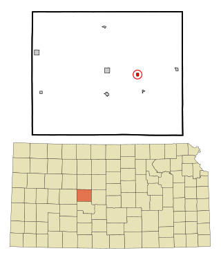
Bison is a city in Rush County, Kansas, United States. As of the 2020 census, the population of the city was 179.
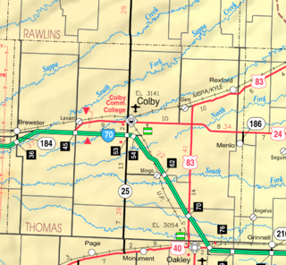
Brewster is a city in Thomas County, Kansas, United States. As of the 2020 census, the population of the city was 291.

Alma is a city in and the county seat of Wabaunsee County, Kansas, United States. As of the 2020 census, the population of the city was 802.

Haddam is a city in Washington County, Kansas, United States. It is named after Haddam, Connecticut. As of the 2020 census, the population of the city was 110.
Morrowville is a city in Washington County, Kansas, United States. As of the 2020 census, the population of the city was 114.

Clayton is a city in Decatur and Norton counties in the U.S. state of Kansas. As of the 2020 census, the population of the city was 44.