Morrill is a city in Brown County, Kansas, United States. As of the 2020 census, the population of the city was 218.

Gridley is a city in Coffey County, Kansas, United States. As of the 2020 census, the population of the city was 313.

Bucklin is a city in Ford County, Kansas, United States. As of the 2020 census, the population of the city was 727. It is located along U.S. Route 54 highway.

Gove City, more commonly known as Gove, is a city in and the county seat of Gove County, Kansas, United States. As of the 2020 census, the population of the city was 80.
Grinnell is a city in Gove County, Kansas, United States. As of the 2020 census, the population of the city was 260.

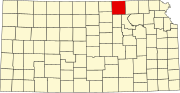
Hoyt is a city in Jackson County, Kansas, United States. As of the 2020 census, the population of the city was 593.

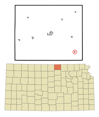
Nortonville is a city in Jefferson County, Kansas, United States. As of the 2020 census, the population of the city was 601.

Formoso is a city in Jewell County, Kansas, United States. As of the 2020 census, the population of the city was 94.
Randall is a city in Jewell County, Kansas, United States. As of the 2020 census, the population of the city was 79.

McDonald is a city in Rawlins County, Kansas, United States. As of the 2020 census, the population of the city was 113.
Agenda is a city in Republic County, Kansas, United States. As of the 2020 census, the population of the city was 47.

Belleville is a city in and the county seat of Republic County, Kansas, United States. As of the 2020 census, the population of the city was 2,007.

Munden is a city in Republic County, Kansas, United States. As of the 2020 census, the population of the city was 96.

Narka is a city in Republic County, Kansas, United States. As of the 2020 census, the population of the city was 81.
Republic is a city in Republic County, Kansas, United States. As of the 2020 census, the population of the city was 82.
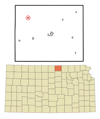
Bison is a city in Rush County, Kansas, United States. As of the 2020 census, the population of the city was 179.
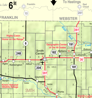
Gaylord is a city in Smith County, Kansas, United States. As of the 2020 census, the population of the city was 87.

Kensington is a city in Smith County, Kansas, United States. As of the 2020 census, the population of the city was 399.

Mahaska is a city in Washington County, Kansas, United States. As of the 2020 census, the population of the city was 46. It is located 1 mile south of the Nebraska state line.
Morrowville is a city in Washington County, Kansas, United States. As of the 2020 census, the population of the city was 114.