Trapper Creek is a census-designated place (CDP) in Matanuska-Susitna Borough, Alaska, United States. It is part of the Anchorage Metropolitan Area and is known as the southern gateway to Denali State Park. According to the 2020 census the population of Trapper Creek was 499.

Lake of the Pines is a census-designated place (CDP) and a gated residential community in Nevada County, California, United States. The population was 3,917 at the 2010 census.

Day Valley is a census-designated place (CDP) in Santa Cruz County, California, United States. The population was 3,409 at the 2010 census.

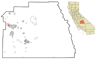
Goshen is a census-designated place (CDP) near Visalia, in Tulare County, California, United States. The population was at 5,387 in the 2020 census, up from the 3,006 in the 2010 census. Until the twentieth century, Goshen was an island in a marsh at the edge of Tulare Lake, formerly the largest freshwater lake west of the Great Lakes until drained.

Nassau Village-Ratliff is a census-designated place (CDP) in Nassau County, Florida, United States. The population was 5,337 at the 2010 census.

Wilsonville is a village in Macoupin County, Illinois, United States. The population was 536 at the 2020 census.

Montgomery Creek is a census-designated place in Shasta County, California, United States. Its population is 176 as of the 2020 census, up from 163 from the 2010 census. The town and associated creek were named after Zachariah Montgomery.

Simms is a census-designated place (CDP) in Cascade County, Montana, United States. The population was 354 at the 2010 census. It is part of the Great Falls, Montana Metropolitan Statistical Area.
Cloud Creek is an unincorporated community and census-designated place (CDP) in Delaware County, Oklahoma, United States. The population was 121 at the 2010 census, a 40.7 percent increase over the figure of 86 recorded in 2000 census.
Foundryville is a census-designated place (CDP) in Columbia County, Pennsylvania, United States. It is part of Northeastern Pennsylvania. The population was 260 at the 2020 census. It is part of the Bloomsburg-Berwick micropolitan area.

La Paloma-Lost Creek is a census-designated place (CDP) in Nueces County, Texas, United States. The population was 408 at the 2010 census, up from 323 at the 2000 census.

Rose Hill is an unincorporated community and census-designated place (CDP) in Lee County, Virginia, United States. The population was 799 at the 2010 census, up from 714 at the 2000 census.

Neilton is an unincorporated community and census-designated place (CDP) in Grays Harbor County, Washington, United States. The population was 315 at the 2010 census.

Ames Lake is an unincorporated community and census-designated place (CDP) in King County, Washington, United States. The population was 1,524 at the 2020 census, up from 1,486 at the 2010 census.

Greenwater is a census-designated place (CDP) in the northwest United States in Pierce County, Washington. Southeast of Seattle, the population was 67 at the 2010 census, down from 91 in 2000. At the 2020 census, the population was 95.

Canyon Creek is a census-designated place (CDP) in Snohomish County, Washington, United States. The population was 3,445 at the 2020 census, up from 3,200 at the 2010 census. Prior to the 2010 census, the CDP was known as Jordan Road-Canyon Creek.

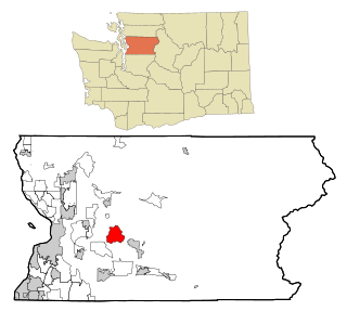
Lake Roesiger is a census-designated place (CDP) in Snohomish County, Washington, United States. The population was 611 at the 2020 census, up from 503 at the 2010 census.

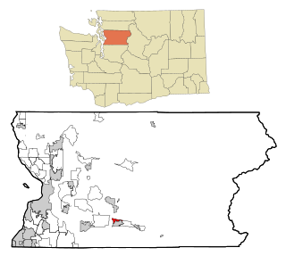
North Sultan is a census-designated place (CDP) in Snohomish County, Washington, United States. The population was 256 at the 2020 census.
Sand Lake is an unorganized territory in Saint Louis County, Minnesota, United States, located within the unincorporated area of Britt. The population was 1,130 at the 2020 census.
Yorkshire is a census-designated place (CDP) in the northeastern corner of the town of Yorkshire in Cattaraugus County, New York, United States. The population of the CDP was 1,180 at the 2010 census, out of 3,913 in the town of Yorkshire as a whole.


