
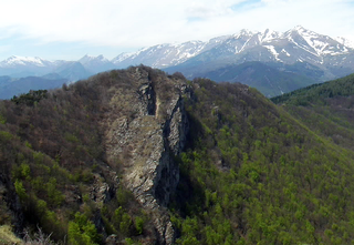
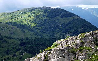
The Ligurian Alps are a mountain range in northwestern Italy. A small part is located in France. They form the south-western extremity of the Alps, separated from the Apennines by the Colle di Cadibona. The Col de Tende and the Vermenagna valley separate them from the Maritime Alps. They form the border between Piedmont in the north and Liguria in the south.

The Bévéra or Bevera is a river of southeastern France and northwestern Italy.

Mont Bégo is a mountain in the Mercantour massif of the Maritime Alps, in southern France, with an elevation of 2,872 metres (9,423 ft). It is included in the Vallée des Merveilles.

Monte Bignone is a mountain in Liguria, northern Italy, part of the Ligurian Alps. It is located in the province of Imperia near Sanremo. It lies at an altitude of 1299 metres and lies within the San Romolo Natural Park.

Monte Carmo di Loano is a mountain in Liguria, northern Italy, part of the Alps. It is located in the province of Savona. It lies at an altitude of 1389 metres.
Monte Colombin is a mountain in Liguria, northern Italy, part of the Alps. It is located in the provinces of province of Imperia in Italy and Alpes-Maritimes in France. It lies at an elevation of 1,088 meters.

Monte Frontè is a mountain in Liguria, northern Italy, part of the Alps. It is located in the province of province of Imperia. It lies at an altitude of 2,152 metres. After Monte Saccarello it is the second highest peak in the Ligurian region.

Monte Galero is a mountain in Liguria, northern Italy, part of the Alps. It is located in the provinces of Savona and Cuneo. It lies at an altitude of 1708 metres and, after Monte Armetta, is the second highest summit of the Ligurian Prealps.

Monte Saccarello (Italian) or Mont Saccarel (French) is a mountain located on the French-Italian border between Liguria, Piedmont and Provence-Alpes-Côte d'Azur.

SOIUSA is a proposal for a new classification system of the Alps from the geographic and toponomastic point of view. It was designed by Sergio Marazzi, Italian researcher and author of the Orographic Atlas of the Alps SOIUSA. His book was presented with the patronage of the Italian Alpine Club on 23 Jan 2006, but has yet to receive any formal acceptance.

Monte Orsiera is a mountain in the Cottian Alps belonging to the Province of Turin (Italy).

Cima Garlenda is a 2,141 m (7,024 ft) mountain of the Ligurian Alps, in Italy. After Monte Saccarello and Monte Frontè it is the third Ligurian summit.
Rocca delle Penne is a 1501 metres high mountain in the Ligurian Prealps in Italy.
Monte Armetta is a mountain in Piedmont, northern Italy, part of the Alps. At an altitude of 1,739 metres is the highest summit of the Ligurian Prealps.

Monte Tanarello (Italian) or Mont Tanarel (French) is a 2094 metres high mountain located on the French-Italian border.

Monte Spinarda is a 1,357-metre (4,452 ft) mountain of the Ligurian Alps in Italy.

The Cima Mongioia or simply Mongioia or Bric de Rubren is a 3,340 metres high mountain of the Cottian Alps.

The Punta Nera is a mountain of Savoie (France) and of the Province of Turin (Italy). It lies in the Cottian Alps range. It has an elevation of 3,047 metres above sea level.

The Monte della Guardia is a mountain in Piedmont, northern Italy, part of the Alps. At an altitude of 1,658 metres is one of the highest summits of the Ligurian Prealps.

Monte Bertrand (Italian) or Mont Bertrand (French) is a mountain located on the French-Italian border between Piemonte and Provence-Alpes-Côte d'Azur.

