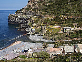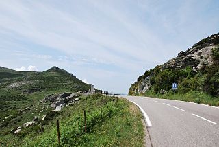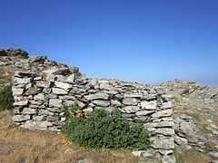
Barbaggio is a commune in the French department of Haute-Corse on the island of Corsica. It is known for its wine, its scenery, and the prehistoric site of Strette.

The Bevinco is a small river in the northeast of the Haute-Corse department on the French island of Corsica. It is the main tributary of the Étang de Biguglia, the largest wetland in Corsica.

Monte San Petrone is a mountain in the department of Haute-Corse on the island of Corsica, France. It is the highest mountain in the Monte San Petrone massif, the southernmost of the schist massifs of the northeast of the island.

Punta Artica or Monte Artica is a mountain in the department of Haute-Corse on the island of Corsica, France. It is in the Monte Rotondo massif.

Monte Rotondo is a mountain in the department of Haute-Corse on the island of Corsica, France. At 2,622 metres (8,602 ft) it is the second highest in Corsica, after Monte Cinto. It is the highest point in the Monte Rotondo massif. The view from the summit is spectacular.

Monte Astu or Monte Asto is a mountain in the department of Haute-Corse on the island of Corsica, France.

The Capu Biancu is a mountain in the department of Haute-Corse on the island of Corsica, France.

The Monte Cinto massif is one of the main massifs in the island of Corsica, France, taking its name from the highest mountain in Corsica, Monte Cinto. It is the northernmost and highest of the four massifs that form the spine of the island. The massif is mostly in the Haute-Corse department, but the southwest of the massif is in the Corse-du-Sud department.

The Col de Bigorno Corsican: Bocca di Bigornu), or Bigorno Pass, is a mountain pass in the Haute-Corse department of Corsica, France.

The Monte Stello massif is a chain of mountains in the island of Corsica, France, that forms the spine of the northern peninsula, Cap Corse. It takes its name from Monte Stello, which was long thought to be the highest peak, but more recently it has been determined that Cima di e Follicie is the highest.

Cima di e Follicie is a mountain in the department of Haute-Corse on the island of Corsica, France. It is in the Monte Stello massif on Cap Corse.

Lac de Padula is a reservoir in the Haute-Corse department of France, on the island of Corsica. It was built to supply water for irrigation and firefighting, but now also provides drinking water during the summer tourist peak.

Monte Incudine is a mountain in the department of Corse-du-Sud on the island of Corsica, France. It is the highest peak in the Monte Incudine massif.

Col de San Colombano is a mountain pass in Corsica.

The Ruisseau de Pietracorbara is a coastal stream in the department of Haute-Corse, Corsica, France. It rises in the Monte Stello massif on Cap Corse and flows into the Tyrrhenian Sea on the east of the island.

The Olmeta is a small coastal stream in the department of Haute-Corse, Corsica, France. It enters the Mediterranean Sea from the west of the Cap Corse peninsula.

Monte d'Oro is a mountain in the department of Haute-Corse on the island of Corsica, France, one of the highest on the island. It is in the south of the Monte Rotondo massif, but is sometimes considered the summit of its own massif, the Monte d'Oro massif.

The Col de Santo Stefano Corsican: Bocca di San Stefanu) is a mountain pass in the Haute-Corse department of Corsica, France. It is one of the main passes in Corsica, running between the massifs of Monte Stello to the north and Monte Astu to the south. It provides a route from the Saint-Florent region to the northwest and Biguglia in the eastern coastal plain.

The Col de Teghime is a mountain pass in the Haute-Corse department of Corsica, France. The pass is in the south of the Monte Stello massif and is one of the main passes in the island.

Monte Renoso is a mountain in the departments of Haute-Corse and Corse-du-Sud on the island of Corsica, France. It is the highest peak in the Monte Renoso massif.
This page is based on this
Wikipedia article Text is available under the
CC BY-SA 4.0 license; additional terms may apply.
Images, videos and audio are available under their respective licenses.


