David James Stratton is an English-Australian award-winning film critic, as both a journalist and interviewer, film historian and lecturer and television personality and producer.

Como is a suburb of Perth, Western Australia. Its local government area is the City of South Perth. The suburb has a population of 12,423. Canning Highway divides the suburb.

Yagoona, a suburb of the local government area City of Canterbury-Bankstown, is located 20 kilometres south-west of the Sydney central business district, in the state of New South Wales, Australia. It is a part of the South-western Sydney region. Yagoona is an Aboriginal word meaning 'now' or 'today'. It was the site of the first McDonald's restaurant to open in Australia in December 1971.

Kewdale is a suburb of Perth, Western Australia within the City of Belmont. Kew Street was one of the first roads in this district, hence the naming of the suburb.

Floreat is a residential suburb 8 kilometres (5 mi) west-northwest of the central business district of Perth, the capital of Western Australia. It is bordered on Underwood Avenue, Selby Street, Cromarty Road and Durston Road. It is the head of the Town of Cambridge, which has its municipal offices and library in the suburb. The name of the suburb stems from the Latin word for "flourish" or "prosper", which is also the motto of the City of Perth, of which Floreat was a part when it was first built.
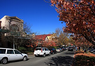
Leura is a suburb in the City of Blue Mountains local government area that is located 100 kilometres (62 mi) west of the Sydney central business district in New South Wales, Australia. It is one of the series of small towns stretched along the Main Western railway line and Great Western Highway that bisects the Blue Mountains National Park. Leura is situated adjacent to Katoomba, the largest centre in the upper mountains, and the two towns merge along Leura's western edge.

Pickering Brook is a suburb of Perth, Western Australia, located within the City of Kalamunda.

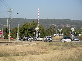
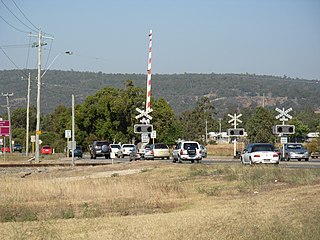
Nedlands is a Legislative Assembly electorate in the state of Western Australia. Nedlands is named for the inner western Perth suburb of Nedlands which falls within its borders.

Nedlands is an affluent western suburb of Perth, the capital city of Western Australia. It is a part of the local government areas of the City of Nedlands and the City of Perth. It is about 7 kilometres (4 mi) from the Perth CBD via either Thomas Street or Mounts Bay Road.
Toodyay Road is a mostly 2-lane undivided single carriageway in Western Australia, running from the north-eastern Perth suburb of Middle Swan, through Gidgegannup and Bailup, to the Wheatbelt town of Toodyay. It is signposted as State Route 50.

Chuwar is a town and suburb of Ipswich in the City of Ipswich and a locality of the City of Brisbane in South East Queensland, Australia. In the 2016 census, Chuwar had a population of 2,244 people.

Parkinson is an outer southern suburb in the City of Brisbane, Queensland, Australia. In the 2016 census, Parkinson had a population of 10,878 people.

Fishermans Bay is a small suburb of the Port Stephens local government area in the Hunter Region of New South Wales, Australia. It is located on the coast of the Tasman Sea adjacent to Anna Bay. A large part of the eastern portion of the suburb is occupied by Tomaree National Park and only a very small portion of the south western corner of the suburb is populated. The suburb is named after the adjacent bay.

Lake King is a town in the eastern Wheatbelt region of Western Australia, 464 kilometres (288 mi) from Perth along State Route 40 between Kelmscott and Ravensthorpe. As of 2016, the town had a population of 95. The 2011 census recorded both the population of the town and the surrounding area for a population of 332.

Benjaberring is a small town in the Wheatbelt region of Western Australia. The name of the town originates from the Aboriginal name of a nearby water source. The name of the area first appears on charts in 1846; the town site was first declared as Benjabbering in 1910, but the spelling was changed to Benjaberring in 1911 to more accurately reflect the correct pronunciation. In 1927 - the wheat statistics were showing over 2,000 tons annually for the years 1924/1925, and 1925/1926.

Gabbin is a small town in the Wheatbelt region of Western Australia.
Manmanning is a small Wheatbelt town in Western Australia.

Pantapin is a small town in the Wheatbelt region of Western Australia.

Dandaragan is a small town in the Wheatbelt region of Western Australia. The name of Dandaragan was first recorded in 1850 as the name of a nearby gulley and spring or watering hole known as Dandaraga spring. The word is Indigenous Australian in origin and is thought to mean good kangaroo country.
Katrina Stratton is a member of the Western Australian Legislative Assembly for the electoral district of Nedlands for the Australian Labor Party. She won her seat at the 2021 Western Australian state election.