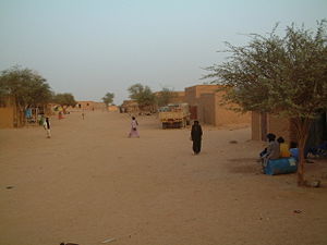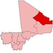
Aguelhok or Adjelhoc is a rural commune and village in the Kidal Region of eastern Mali in the Tessalit Cercle. In the census of 2009 the commune had a population of 8,080.
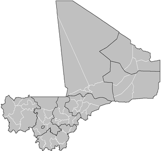
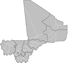
A cercle is the second level administrative unit in Mali. Mali is divided into eight régions and one capital district (Bamako); the régions are subdivided into 49 cercles. These subdivisions bear the name of their principal city.

Diéma Cercle is an administrative subdivision of the Kayes Region of Mali. Its administrative center (chef-lieu) is the small town of Diéma. The Cercle is divided into one urban commune and fourteen rural communes. In the 2009 census the cercle had a population of 212,062.

Kéniéba Cercle is a subdivision of the Kayes Region of Mali. The administrative center (chef-lieu) is the town of Kéniéba.

Nara Cercle is an administrative subdivision of the Koulikoro Region of Mali. Its seat is the town of Nara.
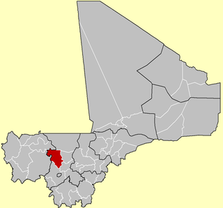
Kolokani Cercle is an administrative subdivision of the Koulikoro Region of Mali. Its seat is the town of Kolokani, which is also its largest settlement. It lies directly to the north of Kati Cercle. Also to the south, is the District of Bamako, which after independence was carved out of the middle of the Region. The cercle is further divided into communes.

Barouéli Cercle is an administrative subdivision of the Ségou Region of Mali. The administrative center (chef-lieu) is the town of Barouéli.

Tominian Cercle is an administrative subdivision of the Ségou Region of Mali. The administrative center of the local government is in the town of Tominian. The Cercle is divided into Communes, and below this, quarters/villages. In the 2009 census the cercle had a population of 219,853 people.
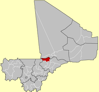
Youwarou Cercle is an administrative subdivision of the Mopti Region of Mali. The administrative center (chef-lieu) is the town of Youwarou.

Timbuktu Cercle is an administrative subdivision of the Tombouctou Region of Mali. It is the largest cercle by area in the whole of Mali. The capital lies at the city of Timbuktu. The cercle is divided into Rural and Urban Communes, and below this, quarters/villages. In the 2009 census the cercle had a population of 124,546.

Ansongo Cercle is an administrative subdivision of the Gao Region of Mali. The administrative center (chef-lieu) is the town of Ansongo. The Niger River passes through the cercle and plays an important role in transportation and the economy in the region.
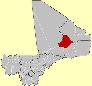
Bourem Cercle is an administrative subdivision of the Gao Region of north-eastern Mali. The administrative center (chef-lieu) is the town of Bourem.

Gao Cercle is an administrative subdivision of the Gao Region of north-eastern Mali. The administrative center (chef-lieu) is the town of Gao.

Abeïbara Cercle is an administrative subdivision of the Kidal Region of north-eastern Mali. The capital lies at the small town of Abeïbara. The Cercle is divided into Communes, and below this, quarters/villages. As of 2009 the cercle had a population of 10,286.

Kidal Cercle is an administrative subdivision of the Kidal Region of Mali. The administrative center (chef-lieu) is the town of Kidal. The cercle is divided into rural and urban communes, and below this, quarters/villages. In 2009 the cercle had a population of 33,087.

Tin-Essako Cercle is an administrative subdivision of the Kidal Region of Mali. The administrative center (chef-lieu) is at the village of Tin-Essako. In the 2009 census the cercle had a population of 7,976 people. The cercle is the least populated in Mali and has an extreme Saharian climate.

Timtaghène is a rural commune in the Cercle of Tessalit in the Kidal Region of north-eastern Mali. The main village (chef-lieu) of the commune is Inabag which is 212 km (132 mi) due west of Aguelhok, 242 km (150 mi) southwest of Tessalit and 357 km (222 mi) northeast of Timbuktu. In the census of 2009 the commune had a population of 2,470. The commune is entirely desert and covers an area of approximately 30,000 km2, but it includes the settlements of Alybadine, Darassal, Tadjoudjoult, Tachrak, Tawhoutène, Tin Kar (Timétrine) and Teghaw-Ghawen.

Dogofry is a village and a rural commune in the Cercle of Niona in the Ségou Region of southern-central Mali. The commune covers an area of approximately 3,820 square kilometers and is bordered to the north by the Republic of Mauritania, to the east by the commune of Nampalari, to the southeast by the commune of Diabaly, to the southwest by the commune of Sokolo and to the west by the commune of Guiré in the Cercle of Nara. It includes 19 villages, and had a population of 34,057 in the 2009 census. The south of the commune includes a region irrigated as part of the Office du Niger scheme. The village of Dogofry lies in this irrigated area, about 60 km north of Niono, to the west of the Fala de Molodo and the Distributeur de Kogoni.
