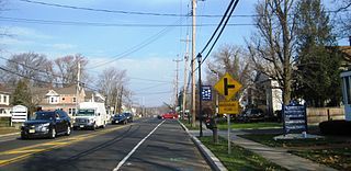
Marlboro is an unincorporated community located within Marlboro Township in Monmouth County, New Jersey, United States.

The Pequest River is a 35.7-mile-long (57.5 km) tributary of the Delaware River in the Skylands Region in northwestern New Jersey in the United States.

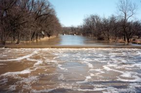
The Paulins Kill is a 41.6-mile (66.9 km) tributary of the Delaware River in northwestern New Jersey in the United States. With a long-term median flow rate of 76 cubic feet of water per second (2.15 m³/s), it is New Jersey's third-largest contributor to the Delaware River, behind the Musconetcong River and Maurice River. The river drains an area of 176.85 square miles (458.0 km2) across portions of Sussex and Warren counties and 11 municipalities. It flows north from its source near Newton, and then turns southwest. The river sits in the Ridge and Valley geophysical province.
Collamer is an unincorporated community in Cleveland Township, Whitley County, Indiana, United States, located on the Eel River and at the intersection of Indiana State Road 14 and Whitley County road 900 W. Smith Rambo platted the town February 9, 1846. Collamer is named after Jacob Collamer, 13th United States Postmaster General.

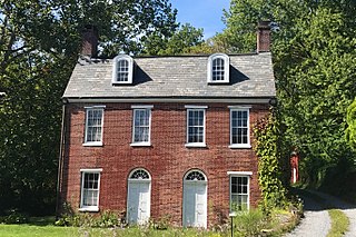
Norton is an unincorporated community located within Union Township, in Hunterdon County, New Jersey. Norton is located on County Route 635, approximately 1.5 mi (2.4 km) northwest of Interstate 78. The village is included in the Van Syckel Corner District, which was added to the National Register of Historic Places in 1979.
Vienna is an unincorporated community and census-designated place (CDP) located within Independence Township in Warren County, New Jersey, United States, that was created as part of the 2010 United States Census. As of the 2010 Census, the CDP's population was 981.

Marksboro is an unincorporated community and census-designated place (CDP) located within Frelinghuysen Township in Warren County, New Jersey, United States, that was created as part of the 2010 United States Census, though settlement and naming of the community date back to before 1760. As of the 2010 Census, the CDP's population was 82.
Hainesburg is an unincorporated community and census-designated place (CDP) located within Knowlton Township in Warren County, New Jersey, United States, that was created as part of the 2010 United States Census. As of the 2010 Census, the CDP's population was 91.

Foul Rift is an unincorporated community and one-time ghost town located within White Township, in Warren County, New Jersey, United States. Foul Rift had been a cottage community located on the east bank of the Delaware River, 2 mi (3.2 km) south of Belvidere.

Paulina is an unincorporated community located in Blairstown in Warren County, New Jersey, United States.
Carpentersville is an unincorporated community located in Pohatcong Township in Warren County, New Jersey, United States.
Quarryville is an unincorporated community located within Wantage Township in Sussex County, New Jersey, United States.
Warrington is an unincorporated community located within Knowlton Township in Warren County, New Jersey, United States.

Readingsburg, also known as Stone Mill, is an unincorporated community located along the South Branch Raritan River within Clinton Township in Hunterdon County, New Jersey.
Daretown is an unincorporated community within Upper Pittsgrove Township in Salem County, New Jersey, United States.
Anthony is an unincorporated community located within Lebanon Township in Hunterdon County, New Jersey, United States.
Springdale is an unincorporated community in Andover Township, in Sussex County, New Jersey, United States.
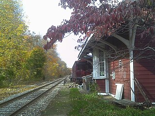
Kingsland is an unincorporated community located within Lyndhurst Township in Bergen County, New Jersey, United States. and the site of Kingsland station.
Wortendyke is a residential and commercial unincorporated community located within Midland Park, in Bergen County, New Jersey, United States.
Springtown is an unincorporated community located at the intersection of Springtown Road and the Pohatcong Creek in Pohatcong Township, Warren County, New Jersey. It was named after the many small springs in the valley.


