
Illinois Route 71 is a 66-mile-long (106 km) southwest-to-northeast state highway in north central Illinois. It runs from the end of Interstate 180 in Hennepin to U.S. Route 34 in Oswego. This is a distance of 69.37 miles (111.64 km).
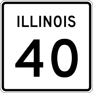
Illinois Route 40 is a 112.05-mile-long (180.33 km) north–south route in central portion of the U.S. state of Illinois. It runs from Interstate 74 (I-74) in East Peoria north to IL 78 at Mt. Carroll, just south of U.S. Route 52 and IL 64.
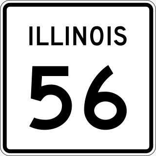
Illinois Route 56 is a 32.52-mile-long (52.34 km) east–west state highway in northern and northeastern Illinois. It runs from the interchange of Illinois Route 47 at U.S. Route 30 in Sugar Grove east to US 12/US 20/US 45 by Bellwood. It is one of only three state highways that require tolls.
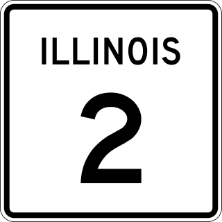
Illinois Route 2 is a north–south state highway in northern Illinois. It currently starts at Illinois Route 40 in Sterling and ends at the Wisconsin state line in South Beloit, very near the intersection with U.S. Route 51, Illinois Route 75 and Illinois Route 251. Illinois 2 is 73.91 miles (118.95 km) long.

Illinois Route 4 is a major north–south highway that runs south from the Interstate 55 business loop around the state capital of Springfield, south to Illinois Route 13 just north of Murphysboro. This is a distance of 170.44 miles (274.30 km).

Illinois Route 116 is a 176.07-mile-long (283.36 km) cross-state rural state highway that runs from U.S. Route 34 by Gladstone east to the intersection of US 45 and Old US 45, on the north side of Ashkum.

Illinois Route 91 (IL 91) is a rural state route in central Illinois. It runs from the northwest edge of Peoria at U.S. Highway 150 (US 150) to U.S. Highway 34 and Illinois Route 78 south of Kewanee. Illinois 91 is 40.72 miles (65.53 km) long.
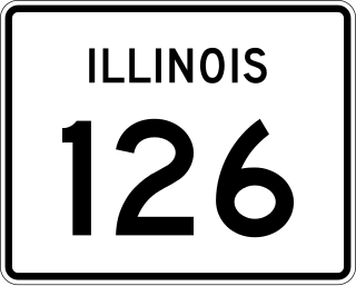
Illinois Route 126 (IL 126) is a 17.25-mile-long (27.76 km) east–west state highway in the northern part of the U.S. state of Illinois. It travels from IL 47 in Yorkville to Interstate 55 (I-55) between Plainfield and Bolingbrook.

Illinois Route 18 is a rural east–west state route in central Illinois. It runs east from the town of Henry at Illinois Route 29 to the town of Blackstone at Illinois Route 17. This is a distance of 39.01 miles (62.78 km).

Illinois Route 192 is a 8.31-mile (13.37 km) east–west state highway in northwest Illinois. It runs from its western terminus at Illinois Route 92 northwest of Edgington to its eastern terminus at Illinois Route 94 in Taylor Ridge. The route is located entirely within Rock Island County. Route 192 is maintained by the Illinois Department of Transportation (IDOT).
Illinois Route 78 is a major north–south highway in western Illinois. It runs from Illinois Route 104 northwest of Jacksonville north to Highway 78 at the Wisconsin state line north of Warren. This is a distance of 215.51 miles (346.83 km).

U.S. Route 6 (US 6) in the state of Illinois is an east–west arterial surface road that runs 179.88 miles (289.49 km) from the city of Moline in the Quad Cities area to Lansing at the Indiana state line.

Illinois Route 102 (IL 102) is a state route in northeast Illinois. It runs from IL 53 in Wilmington to the concurrency of U.S. Route 45 (US 45) and US 52 in Bourbonnais, just north of Kankakee. This is a distance of 18.33 miles (29.50 km).

Illinois Route 170 is a north–south state road in north-central Illinois. It runs from Illinois Route 23 well north of Pontiac to U.S. Route 6 in Seneca. This is a distance of 25.00 miles (40.23 km).

U.S. Route 54 (US 54) in Illinois is a 23.9-mile-long (38.5 km) east–west highway that travels from the Champ Clark Bridge on the Missouri state line to I-72/US 36/IL 107 south of Griggsville. At its greatest extent, US 54 used to continue east to Springfield, then northeast to Onarga, and then north all the way to Downtown Chicago.

U.S. Route 45 in the state of Illinois is a major north–south U.S. Highway that runs from the Brookport Bridge over the Ohio River at Brookport north through rural sections of eastern Illinois and then through the suburbs of Chicago to the Wisconsin state line east of Antioch. This is a distance of 428.99 miles (690.39 km). US 45 is the longest numbered route in Illinois.
Illinois Route 179 was a 16.3-mile-long (26.2 km) state highway in LaSalle County, Illinois. The route ran from IL 251 south of Rutland north to IL 18 west of Streator. The highway was established in 1935 and reached its full length in 1940; it was decommissioned by 1995. The route is now part of LaSalle County Route 44.

Illinois Route 63 (IL 63) was an east–west state highway in the Chicago metropolitan area. At its latest routing, it traveled from Illinois Route 72 (IL 72) in East Dundee to US 41 in Gurnee.

Illinois Route 65 was an east–west state highway in the Chicago metropolitan area. It traveled from U.S. Route 30 Business in Aurora to US 34 north of Naperville.
Illinois Route 118 (IL 118) was an east–west state highway in Illinois. Located in the Chicago metropolitan area, the route traveled from Elmhurst to Maywood primarily along St. Charles Road.


