
Western Province is one of the 10 provinces in Zambia and encompasses most of the area formerly known as Barotseland. The capital is Mongu, and together with the neighbouring town of Limulunga, Mongu is treated as the capital of Barotseland.
Kasempa is a town located in Kasempa District, North-Western Province, Zambia. It is approximately 550 kilometres (340 mi) by road northwest of Lusaka, the capital. Kasempa is located on the western bank of the Lufupa River as it flows south into the Kafue National Park.
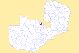
Kaoma is a town in Zambia. It is the headquarters of Kaoma District in the Western Province and is located on the M9 Road.

Chama District with the headquarters at Chama is the largest district of the Eastern Province in Zambia and includes a large wilderness in the Upper Luangwa valley just north-east of the North Luangwa National Park. It is made up of two constituencies, namely Chama North and Chama South.

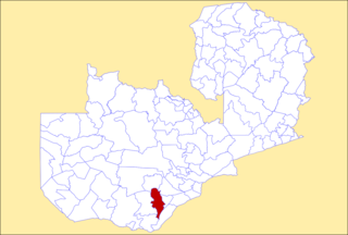
Chibombo District is a district of Central Province, Zambia. As of the 2022 Zambian Census, the district had a population of 421,315 people. It consists of two constituencies, namely Keembe and Katuba.

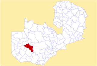
Mumbwa District is a district of Zambia, located in Central Province. The capital lies at Mumbwa. As of the 2022 Zambian Census, the district had a population of 332,237 people. It consists of two constituencies, being Mumbwa and Nangoma.

Chililabombwe District is a district of Zambia, located in Copperbelt Province. The capital is Chililabombwe. At the 2022 Zambian Census, the district had a population of 141,899.
Kalulushi District is a district of Zambia, located in Copperbelt Province. The capital lies at Kalulushi. As of the 2022 Zambian Census, the district had a population of 170,701 people.

Ndola District is a district of Zambia, located in Copperbelt Province. The capital lies at Ndola. As of the 2022 Zambian Census, the district had a population of 624,579 people.

Kasempa District is a district of Zambia, located in North-Western Province. The capital lies at Kasempa. As of the 2022 Zambian Census, the district had a population of 111,272 people.
Choma District is a district of Zambia, located in Southern Province. The capital lies at Choma. As of the 2022 Zambian Census, the district had a population of 266,916 people. Choma has been the provincial capital of the Southern Province since 2012.

Livingstone District is a district of Zambia, located in Southern Province. The capital lies at Livingstone. As of the 2022 Zambian Census, the district had a population of 177,393 people. Its border with Zimbabwe is formed by the Zambezi River and Victoria Falls. Although most people live in Livingstone, other villages include Jinga Jinga in the north and Simonga in the southwest.

Kaputa District is a district of Zambia, located in Northern Province. The capital lies at Kaputa. As of the 2022 Zambian Census, the district had a population of 102,854 people.

Luwingu District is a district of Zambia, located in Northern Province. The capital lies at Luwingu. As of the 2022 Zambian Census, the district had a population of 101,142 people.It is one of the oldest districts of the Northern Province, being founded in 1906.

Mporokoso District is a district of Zambia, located in Northern Province. The capital lies at Mporokoso. As of the 2022 Zambian Census, the district had a population of 63,452 people.

Rufunsa District is a district in Zambia, located in Lusaka Province. The district capital is Rufunsa. The district was established by President Michael Sata in 2012 by splitting Chongwe District. As of the 2022 Zambian census, it has a population of 81,733.
Luampa District is a district of Zambia, located in Western Province. It was separated from Kaoma District in 2012.

Chisamba District is a district of Central Province, Zambia. It covers a total surface area of 5,204.5 sq km and is known for its agricultural activities with over 32,000 small scale farming families and 256 commercial farmers, the majority of whom are white Zambians. It shares borders with Lusaka, Chongwe, Chibombo, Kabwe, Kapiri Mposhi and Luano Districts. The District has a total population of 160,828.

Nkeyema District is a district of Western Province, Zambia. It was separated from Kaoma District in 2012.

Kaoma Central is a constituency of the National Assembly of Zambia. It covers Kaoma and surrounding areas in Kaoma District of Western Province.
