Lusaka Province is one of the ten provinces of Zambia. It is the smallest in terms of land area, covering 21,896 km2. However, it is the most populated and densely populated province in Zambia, with a population of 3,079,964 as of 2022 and a population density of 140 persons per km2.

Chinsali District with headquarters at Chinsali is located in Muchinga Province, Zambia.

Mansa District with headquarters at Mansa is a district located in Luapula Province. As of the 2022 Zambian Census, the district had a population of 327,063 people. It consists of two constituencies, namely Mansa Central and Bahati.

Kabwe District is a district of Zambia, located in Central Province. The capital lies at Kabwe. As of the 2010 Zambian Census, the district had a population of 299,206 people. It consists of two constituencies, namely Kabwe Central and Bwacha.

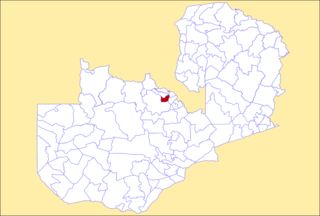
Mkushi District is a district of Zambia, located in Central Province. The capital lies at Mkushi. As of the 2022 Zambian Census, the district had a population of 208,635 people. The Great North Road and TAZARA railway run through Mkushi district, connecting Kapiri Mposhi with Serenje, Mpika, Kasama & Tanzania. The area is largely undeveloped and home to numerous natural attractions including Lunsemfwa Wonder Gorge, Changwena Falls, and historic Fort Elwes.

Kalulushi District is a district of Zambia, located in Copperbelt Province. The capital lies at Kalulushi. As of the 2022 Zambian Census, the district had a population of 170,701 people.

Luanshya District is a district of Zambia, located in Copperbelt Province. The capital lies at Luanshya. As of the 2022 Zambian census, the district had a population of 211,966 people.

Lusaka District is a district of Zambia, located in Lusaka Province. The capital lies at Lusaka. As of the 2022 Zambian Census, the district had a population of 2,204,059 people.

Kasempa District is a district of Zambia, located in North-Western Province. The capital lies at Kasempa. As of the 2022 Zambian Census, the district had a population of 111,272 people.

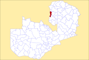
Mwinilunga District is a district of Zambia, located in North-Western Province. The capital lies at Mwinilunga. As of the 2022 Zambian Census, the district had a population of 136,770 people.

Solwezi District is a district of Zambia, located in North-Western Province. The capital lies at Solwezi. As of the 2022 Zambian Census, the district had a population of 332,623 people.

Mazabuka District is a district of Zambia, located in Southern Province. The capital lies at Mazabuka. As of the 2000 Zambian Census, the district had a population of 232,045 people.

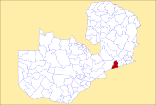
Petauke District is a district of Zambia, located in Eastern Province. The capital lies at Petauke. As of the 2022 Zambian Census, the district had a population of 259,385 people. It consists of two constituencies, namely Petauke Central and Kaumbwe.

Isoka District is a district of Zambia, located in Muchinga Province. The capital lies at Isoka. As of the 2022 Zambian Census, the district had a population of 111,599 people.

Luwingu District is a district of Zambia, located in Northern Province. The capital lies at Luwingu. As of the 2022 Zambian Census, the district had a population of 101,142 people.

Mbala District is a district of Zambia, located in Northern Province. The capital lies at Mbala. As of the 2022 Zambian Census, the district had a population of 161,595 people.

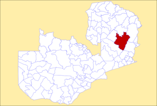
Mpika District is a district of Zambia, located in Muchinga Province. The capital lies at Mpika. As of the 2022 Zambian Census, the district had a population of 149,063 people. With the Luangwa River forming its eastern border, it has most of the South Luangwa National Park within its boundaries. It also contains the North Luangwa National Park.

Lunga District is a district in the Luapula Province of Zambia. It was declared a district in 2012 by Michael Sata. The district comprises archipelago of islands in the Bangweulu Wetlands in the south-east of Lake Bangweulu.

Chembe District is a district of Zambia, located in Luapula Province. The capital lies at Chembe. It was created in 2012 by splitting Mansa District.

Chipili District is a district of Zambia, located in Luapula Province. It was separated from Mwense District in 2012.


