
Copperbelt Province is a province in Zambia which covers the mineral-rich Copperbelt, and farming and bush areas to the south. It was the backbone of the Northern Rhodesian economy during British colonial rule and fuelled the hopes of the immediate post-independence period, but its economic importance was severely damaged by a crash in global copper prices in 1973. The province adjoins the Haut-Katanga province of the Democratic Republic of the Congo, which is similarly mineral-rich.

The ten provinces of Zambia are divided into a total of 116 districts as of 2018.

Chama District with the headquarters at Chama is the largest district of the Eastern Province in Zambia and includes a large wilderness in the Upper Luangwa valley just north-east of the North Luangwa National Park. It is made up of two constituencies, namely Chama North and Chama South.

Chibombo District is a district of Central Province, Zambia. As of the 2022 Zambian Census, the district had a population of 421,315 people. It consists of two constituencies, namely Keembe and Katuba.

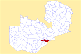
Lufwanyama District with headquarters at Lufwanyama is a large rural undeveloped district in the west of Copperbelt Province. On a number of maps it is mixed up with Mpongwe District and Masaiti District. At one time these three districts were known as 'Ndola Rural'. As of the 2010 Zambian Census, the district had a population of 78,503 people. It has an area of 9849 square kilometres.

Kapiri Mposhi District is a district of Zambia, located in Central Province. The capital lies at Kapiri Mposhi. As of the 2022 Zambian Census, the district had a population of 371,068 people.

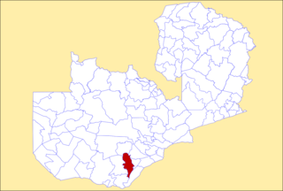
Kitwe District is a district of Zambia, located in Copperbelt Province. The capital is Kitwe. As of the 2000 Zambian Census, the district had a population of 376,124 people.
Kafue District is a district of Zambia, located in Lusaka Province. The capital lies at Kafue. As of the 2022 Zambian Census, the district had a population of 219,574 people.
Choma District is a district of Zambia, located in Southern Province. The capital lies at Choma. As of the 2022 Zambian Census, the district had a population of 266,916 people. Choma has been the provincial capital of the Southern Province since 2012.

Itezhi-Tezhi District is a district of Zambia, located in Southern Province. The capital lies at Itezhi-Tezhi. As of the 2022 Zambian Census, the district had a population of 130,216 people.

Kalomo District is a district of Zambia, located in Southern Province. The capital lies at Kalomo. As of the 2022 Zambian census, the district had a population of 274,640 people.

Kazungula District is a district of Zambia, located in Southern Province. The capital lies at Kazungula. As of the 2022 Zambian Census, the district had a population of 173,002 people.

Livingstone District is a district of Zambia, located in Southern Province. The capital lies at Livingstone. As of the 2022 Zambian Census, the district had a population of 177,393 people. Its border with Zimbabwe is formed by the Zambezi River and Victoria Falls. Although most people live in Livingstone, other villages include Jinga Jinga in the north and Simonga in the southwest.

Monze District is a district of Zambia, located in Southern Province. The capital lies at Monze. As of the 2022 Zambian Census, the district had a population of 268,432 people.

Siavonga District is a district of Zambia, located in Southern Province. The capital lies at Siavonga. As of the 2022 Zambian Census, the district had a population of 66,030 people. It is separated from Zimbabwe by Lake Kariba.
Zabzugu is a small town and the capital of Zabzugu district, a district in the Northern Region of north Ghana. It has a nucleated settlement and is less populated. Most of the people there are farmers, and their main produce is Yam.

Rufunsa District is a district in Zambia, located in Lusaka Province. The district capital is Rufunsa. The district was established by President Michael Sata in 2012 by splitting Chongwe District. As of the 2022 Zambian census, it has a population of 81,733.
Sinazeze is a community located in Sinazongwe District in the Southern Province of Zambia. Sinazeze is about 17 kilometres (11 mi) north of Sinazongwe and 35 kilometres north-east of Maamba. Its location at a road junction has led to its development.
Sinazongwe is a constituency of the National Assembly of Zambia. It covers Sinazongwe, Sinazeze and Maamba in Sinazongwe District of Southern Province.
