Autostrada A28 (Italy)

Last updated
Autostrada A28 Italia.svg
Autostrada A28
Italia - mappa autostrada A28.svg
Route information
Maintained by Autovie Venete S.p.A.
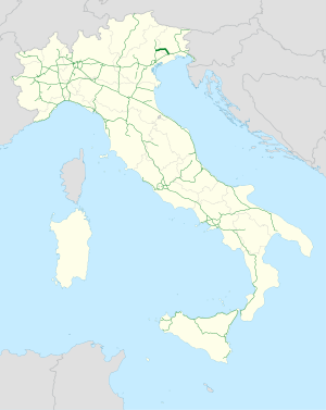
Length48.7 km (30.3 mi)
Existed1974–present
Major junctions
From Portogruaro
To Conegliano
Location
Country Italy
Regions Veneto, Friuli-Venezia Giulia
Highway system

The Autostrada A28 is an Italian motorway which connects Portogruaro to Conegliano and pass through Pordenone.

Route

Autostrada A28 Italia.svg PORTOGRUARO - PORDENONE - CONEGLIANO
TipoIndicazione↓km↓Area
AB-Kreuz-grun.svg Italian traffic signs - strada europea 55.svg Italian traffic signs - strada europea 70.svg Autostrada A4 Italia.svg Torino - Trieste 0 VE
Italian traffic signs - stazione.svg Toll gate of Portogruaro 0,658
AB-AS-grun.svg Portogruaro 1,08
AB-Tank.svg Rest area Gruaro east/Gruaro west
AB-AS-grun.svg Sesto al Reghena 4,692 PN
AB-AS-grun.svg Villotta 8,672
AB-AS-grun.svg Azzano Decimo 13,951
AB-AS-grun.svg Cimpello 17,225
AB-AS-grun.svg Pordenone Centro Commerciale 20,449
AB-AS-grun.svg Pordenone 21,510
AB-AS-grun.svg Porcia 24,364
AB-Tank.svg Rest area Porcia north/Brugnera
AB-AS-grun.svg Fontanafredda 28,059
AB-AS-grun.svg Sacile East 31,129
AB-AS-grun.svg Sacile west 35,05
Italian traffic signs - stazione.svg Toll gate of Cordignano36,428 TV
AB-AS-grun.svg Godega di Sant'Urbano 43,790
AB-AS-grun.svg AB-Kreuz-grun.svg Conegliano
Autostrada A27 Italia.svg Mestre-Pian di Vedoia
48,75
A28 motorway L'A28 al km 41 in direzione A4.JPG
A28 motorway

References