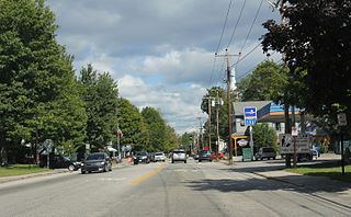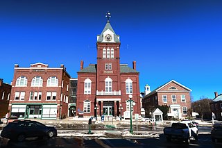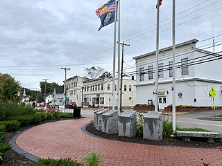
Bartlett is a town in Carroll County, New Hampshire, United States. The population was 3,200 at the 2020 census, up from 2,788 at the 2010 census. Bartlett includes the unincorporated community of Glen as well as portions of the communities of Kearsarge and Intervale, which the town shares with the neighboring town of Conway. It is set in the White Mountains and is surrounded by the White Mountain National Forest. It is home to the Attitash Mountain Resort and the Story Land theme park.

Meredith is a census-designated place (CDP) and the main village in the town of Meredith in Belknap County, New Hampshire, United States. The population was 2,527 at the 2020 census, out of 6,662 in the entire town of Meredith.

Conway is a census-designated place (CDP) and the primary village in the town of Conway in Carroll County, New Hampshire, United States. The population was 3,576 at the 2020 census. It is the most populous community in the town of Conway, ahead of North Conway.

Wolfeboro is a census-designated place (CDP) in the town of Wolfeboro in Carroll County, New Hampshire, United States. It consists of the main village of Wolfeboro within the town, as well as the smaller village of Wolfeboro Falls. The population of the CDP was 3,300 at the 2020 census, out of 6,416 in the entire town of Wolfeboro.
Gorham is a census-designated place (CDP) and the main village in the town of Gorham in Coos County, New Hampshire, United States. The population of the CDP was 1,851 at the 2020 census, out of 2,698 people in the entire town of Gorham.
Hanover is a census-designated place (CDP) and the main village in the town of Hanover in Grafton County, New Hampshire, United States. The population of the CDP was 9,078 at the 2020 census, out of 11,870 in the entire town. The CDP includes the campus of Dartmouth College.
Lisbon is a census-designated place (CDP) and the main village in the town of Lisbon in Grafton County, New Hampshire, United States. The population of the CDP was 965 at the 2020 census, out of 1,621 in the entire town.
Littleton is a census-designated place (CDP) and the main village in the town of Littleton in Grafton County, New Hampshire, United States. The population of the CDP was 4,467 at the 2020 census, out of 6,005 in the entire town.

Plymouth is a census-designated place (CDP) and the main village in the town of Plymouth in Grafton County, New Hampshire, United States. Its population was 4,730 at the 2020 census, out of 6,682 in the entire town. The CDP includes the campus of Plymouth State University.

Newport is a census-designated place (CDP) comprising the main village and surrounding rural land in the town of Newport, Sullivan County, New Hampshire, United States. The population of the CDP was 4,735 at the 2020 census, out of 6,299 in the entire town.

North Woodstock is a census-designated place (CDP) and the primary village in the town of Woodstock in Grafton County, New Hampshire, United States. It had a population of 739 at the 2020 census.

Belmont is a census-designated place (CDP) and the main village in the town of Belmont in Belknap County, New Hampshire, United States. The population was 1,285 at the 2020 census, out of 7,314 in the entire town of Belmont.

Newfields is a census-designated place (CDP) and the main village within the town of Newfields, Rockingham County, New Hampshire, United States. The population of the CDP was 378 at the 2020 census, out of 1,769 in the entire town.
New Hampton is a census-designated place (CDP) and the main village in the town of New Hampton in Belknap County, New Hampshire, United States. The population was 373 at the 2020 census, out of 2,377 people in the entire town of New Hampton.

Bennington is a census-designated place (CDP) and the main village in the town of Bennington in Hillsborough County, New Hampshire, United States. The population of the CDP was 338 at the 2020 census, out of 1,501 in the entire town.
Bethlehem is a census-designated place (CDP) and the main village in the town of Bethlehem in Grafton County, New Hampshire, United States. The population of the CDP was 826 at the 2020 census, out of 2,484 in the entire town.
Lincoln is a census-designated place (CDP) and the main village in the town of Lincoln in Grafton County, New Hampshire, United States. The population of the CDP was 969 at the 2020 census, out of 1,631 in the entire town.
Mountain Lakes is a census-designated place (CDP) in the towns of Haverhill and Bath in Grafton County, New Hampshire, United States. It had a population of 504 at the 2020 census.

Troy is a census-designated place (CDP) and the main village in the town of Troy in Cheshire County, New Hampshire, United States. The population of the CDP was 1,108 at the 2020 census, compared to 2,130 in the entire town. The center of the CDP is the Troy Village Historic District.

Walpole is a census-designated place (CDP) and the central village in the town of Walpole in Cheshire County, New Hampshire, United States. The population of the CDP was 573 at the 2020 census, compared to 3,633 in the entire town.


