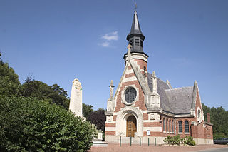
Haucourt is a commune in the Pas-de-Calais department in the Hauts-de-France region of France.

Fouquereuil is a commune in the Pas-de-Calais department in the Hauts-de-France region of France.

Buissy is a commune in the Pas-de-Calais department in the Hauts-de-France region in northern France.
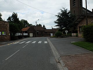
Dury is a commune in the Pas-de-Calais department in the Hauts-de-France region of France.

Hinges is a commune in the Pas-de-Calais department in the Hauts-de-France region of France.
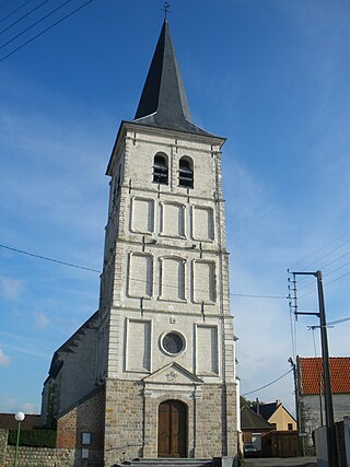
Houchin is a commune in the Pas-de-Calais department in the Hauts-de-France region of France.

Graincourt-lès-Havrincourt is a commune in the Pas-de-Calais department in the Hauts-de-France region of France.

Éterpigny is a commune in the Pas-de-Calais department in the Hauts-de-France region of France.

Étrun is a commune in the Pas-de-Calais department in the Hauts-de-France region of France.

Ferques is a commune in the Pas-de-Calais department in the Hauts-de-France region of France.

Léchelle is a commune in the Pas-de-Calais department in the Hauts-de-France region of France.

Morchies is a commune in the Pas-de-Calais department in the Hauts-de-France region of France.

Mory is a commune in the Pas-de-Calais department in the Hauts-de-France region of France.

Moyenneville is a commune in the Pas-de-Calais department in the Hauts-de-France region of France.

Puisieux or Puisieux-au-Mont is a commune in the Pas-de-Calais department in the Hauts-de-France region of France.

Rivière is a commune in the Pas-de-Calais department in the Hauts-de-France region of France.

Saint-Amand is a commune in the Pas-de-Calais department in the Hauts-de-France region of France.

Saint-Léger is a commune in the Pas-de-Calais department in the Hauts-de-France region of France.

Wancourt is a commune in the Pas-de-Calais department in the Hauts-de-France region of France.
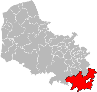
The Canton of Bapaume is a canton situated in the department of the Pas-de-Calais and in the Hauts-de-France region of northern France.