Carleton | |
---|---|
Coordinates: 46°48′18″N65°03′54″W / 46.805°N 65.065°W | |
Country | Canada |
Province | New Brunswick |
County | Kent County |
Erected | 1814 |
Area | |
• Land | 435.23 km2 (168.04 sq mi) |
Population (2021) [1] | |
• Total | 764 |
• Density | 1.8/km2 (5/sq mi) |
• Change 2016-2021 | 7.9% |
• Dwellings | 413 |
Time zone | UTC-4 (AST) |
• Summer (DST) | UTC-3 (ADT) |
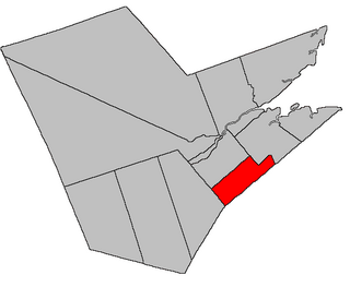
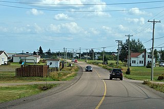
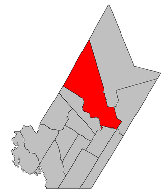
Carleton is a geographic parish in Kent County, New Brunswick, Canada. [4]
For governance purposes it is mainly part of the Kent rural district, [5] which is a member of the Kent Regional Service Commission. [6] Small areas on the southern and western boundaries belong to the town of Beaurivage and the village of Nouvelle-Arcadie, respectively. [lower-alpha 1]
Prior to the 2023 governance reform, the parish was divided between the local service districts of Pointe-Sapin, east of the national park, and the parish of Carleton, to its west. [8]
The parish was named for Thomas Carleton, first Governor of New Brunswick. [9]
Carleton was erected in 1814 as part of Northumberland County from Newcastle Parish. [10] It included Acadieville, Richibucto, Saint-Louis, and Weldford Parishes.
In 1827 Richibucto was erected as Liverpool Parish, including modern Weldford Parish. [11]
In 1845 the boundary with Northumberland County was adjusted, adding area to Carleton. [12]
In 1855 Saint-Louis was erected as Palmerston Parish. [13]
In 1857 the boundary with Palmerston was adjusted to run along grant lines. [14]
In 1876 Acadieville was erected as its own parish. [15]
In 1888 a small area at Point Escuminac was returned to Northumberland County. [16]
Carleton Parish is bounded: [2] [17] [18] [19]
Communities at least partly within the parish; [17] [18] [19]
Bodies of water [lower-alpha 3] at least partly in the parish: [17] [18] [19]
Parks, historic sites, and other noteworthy places at least partly in the parish. [17] [18] [19] [21]
Revised census figures based on the 2023 local governance reforms have not been released.
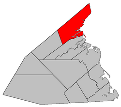
Saumarez is a geographic parish in Gloucester County, New Brunswick, Canada.
Dundas is a geographic parish in Kent County, New Brunswick, Canada.
Addington is a geographic parish in Restigouche County, New Brunswick, Canada.
Queensbury is a geographic parish in York County, New Brunswick, Canada.
Acadieville is a geographic parish in Kent County, New Brunswick, Canada.
Hardwicke is a geographic parish in Northumberland County, New Brunswick, Canada.
Wicklow is a geographic parish in Carleton County, New Brunswick, Canada, forming the northwestern corner of Carleton County.
Eldon is a geographic parish in Restigouche County, New Brunswick, Canada.
Saint-Basile is a geographic parish in Madawaska County, New Brunswick, Canada.
Glenelg is a geographic parish in Northumberland County, New Brunswick, Canada.
Rogersville is a geographic parish in Northumberland County, New Brunswick, Canada.
Saint-Louis is a geographic parish in Kent County, New Brunswick, Canada.
Saint-Charles is a geographic parish in Kent County, New Brunswick, Canada.
Wellington is a geographic parish in Kent County, New Brunswick, Canada.
Saint-Marie, is a geographic parish in Kent County, New Brunswick, Canada.
Kent is a geographic parish in the northeastern corner of Carleton County, New Brunswick, Canada.
Simonds is a geographic parish in Carleton County, New Brunswick, Canada, located north of Woodstock on the western bank of the Saint John River.
Brighton is a geographic parish in Carleton County, New Brunswick, Canada, northeast of Woodstock, extending from the eastern bank of the Saint John River to the York County line.
Douglas is a geographic parish in York County, New Brunswick, Canada.
Shediac is a geographic parish in Westmorland County, New Brunswick, Canada.