
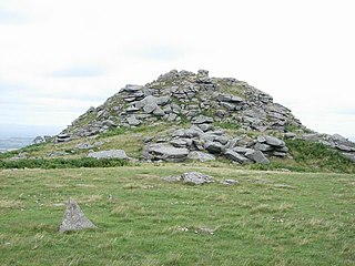
Upper Bacombe and Lower Bacombe are two hamlets in the parish of Wendover, in Buckinghamshire, England. They are located to the south east of the main town, on and at the foot of Bacombe Hill, which is a Local Nature Reserve, and part of the Bacombe and Coombe Hills Site of Special Scientific Interest.
Coombe is a hamlet in west Cornwall, England, United Kingdom. It is situated two miles (3 km) north of the town of Camborne in the valley of the Red River at grid reference SW 629 424.
Coombe is a settlement in Cornwall, England, United Kingdom. It is situated one mile (1.6 km) southwest of Liskeard.

Coombe is a village in mid Cornwall, England, United Kingdom.

Coombe is a village in Cornwall, England, United Kingdom.
Coombe is a settlement in Gwennap civil parish, Cornwall, England, United Kingdom. It is situated approximately three-and-a-half miles (6 km) southeast of Redruth at grid reference SW 763 409.

Coombe is a hamlet in northeast Cornwall, England, United Kingdom.

Coombe is a historic neighbourhood in the Royal Borough of Kingston upon Thames in London, England. As the name implies it sits on high ground, east of the Norbiton area of Kingston upon Thames. The neighbourhood as to its southern bulk or entirety, depending on how Kingston Hill is defined, was part of the former Municipal Borough of Malden and Coombe before local government re-organisation in 1965. It now shares borders with the boroughs of Merton and Sutton with two others almost neighbouring; to the north are the small, inter-related neighbourhoods of Kingston Hill and Kingston Vale beyond which is Richmond Park in Richmond and Roehampton/Putney Vale in Wandsworth. To the east are public playing fields for hire and club use and Wimbledon Common.

Coombe Hill is a hamlet in the civil parish of Leigh in Gloucestershire, England. It lies on the A38 road between Gloucester and Tewkesbury, at the junction with the A4019 road to Cheltenham.
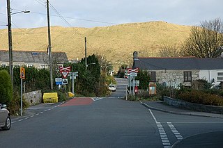
Linkinhorne is a civil parish and village in southeast Cornwall, England, United Kingdom. The village itself is situated at grid reference SX 320 736 and is approximately four miles (6.5 km) northwest of Callington and seven miles (11 km) south of Launceston. The parish population at the 2011 census including Downgate was 1,541

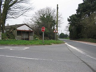
Chiverton Cross is a road junction in west Cornwall, England, United Kingdom, about four miles north-east of Redruth and five miles (8 km) west of Truro at OS grid ref SW747469. Its name derives from Chyverton House which is in the extreme east of the parish of Perranzabuloe.

Cowlands is a hamlet at the head of Coombe Creek southeast of Playing Place in Cornwall, England. According to the Post Office the population at the 2011 Census was included in the civil parish of Truro.

Cusveorth Coombe is a hamlet in the parish of Kea, Cornwall, England.
Lanjeth is a village near St Austell in Cornwall, England. It is in the civil parish of St Stephen-in-Brannel
Lockengate is a hamlet in Cornwall, England, UK. It is two miles south of Lanivet on the A391 road. It is in the civil parish of Luxulyan

Millook is a deep coastal valley and hamlet in the parish of Poundstock, on the north coast of Cornwall, England.
Penwartha Coombe is a hamlet south of Perranporth, Cornwall, England.

Tremar is a hamlet in the parish of St Cleer, Cornwall, England, United Kingdom. It is about 1 km south of Darite and includes Lower Tremar and Venland Cross.

Trevaunance Cove is a small bay on the north Cornish coast and a residential area of St Agnes, Cornwall, United Kingdom. In the 18th and 19th centuries it was a busy harbour despite storms often destroying the quay. The South West Coast Path passes over the coastal slope to the north.

Duckpool to Furzey Cove is a coastal Geological Conservation Review site and Site of Special Scientific Interest (SSSI) in north Cornwall, England, UK, noted for its geological interest.

