
The Gulf of St. Lawrence fringes the shores of the provinces of Quebec, New Brunswick, Nova Scotia, Prince Edward Island, Newfoundland and Labrador, in Canada, plus the islands Saint-Pierre and Miquelon, possessions of France, in North America.

Stratford is a town located in Queens County, Prince Edward Island.

Queens County is a county in the province of Prince Edward Island, Canada. It is the largest county in the province by population with 89,770 (2021) and land. Charlottetown is the county seat of Queens County, and is the largest city and the capital of Prince Edward Island.

Kings County is located in eastern Prince Edward Island, Canada.

Holland College is the provincial community college for the Canadian province of Prince Edward Island (PEI). It is named after the British Army engineer and surveyor Captain Samuel Holland. A significant percentage of college enrolment are international students on student visas.
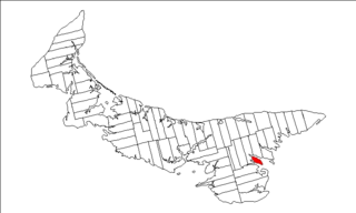
Georgetown Royalty is the royalty for Kings County, Prince Edward Island, Canada.
Alberton is a Canadian town located in Prince County, Prince Edward Island. It is situated in the western part of the county in the township of Lot 5.

Prince County is located in western Prince Edward Island, Canada. The county's defining geographic feature is Malpeque Bay, a sub-basin of the Gulf of St. Lawrence, which creates the narrowest portion of Prince Edward Island's landmass, an isthmus upon which the city of Summerside is located.

Miscouche is a municipality that holds community status in Prince Edward Island, Canada. It is located in Prince County.
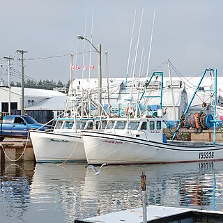
Murray Harbour is a community that holds rural municipality status in Prince Edward Island, Canada. It is located in southeastern Kings County.
Hunter River is a municipality that holds community status in Prince Edward Island, Canada. It is located in Queens County southwest of North Rustico. It is situated on the Hunter River.
Leoville is a Canadian rural community located on Route 158, 3.50–5.00 miles SW of Tignish in western Prince County, Prince Edward Island.

Palmer Road, labelled Route 156, is a 2-lane collector highway in western Prince County, Prince Edward Island, Canada. It is between the communities of Tignish and Miminegash. Its maximum speed limit is 80 km/h (50 mph). The road is considered part of two larger communities, Tignish and Miminegash.
Brudenell was a municipality that held community status in Prince Edward Island, Canada. It was located along the Brudenell and Montague rivers.
Lady Slipper was a municipality that held community status in Prince Edward Island, Canada. On September 28, 2018, it was combined with the municipality of Ellerslie-Bideford, to create the new municipality of Central Prince.

Tryon is an unincorporated area in Prince County, Prince Edward Island, Canada. Situated on Route 1 and Route 10, it lies within the township of Lot 28 which in 2006 had a population of 880 people. Tryon is not far from Crapaud, Prince Edward Island.
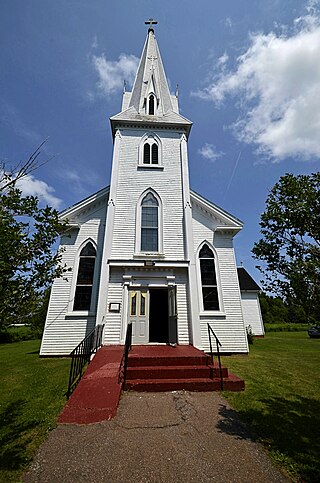
Mont Carmel is a Canadian unincorporated area in Prince County, Prince Edward Island. The community is located in the "Evangeline Region" which is a cluster of Acadian communities in the central part of Prince County. The village is home to the Notre-dame-du-Mont-Carmel, a massive 450000-brick Catholic church built in 1898.
St. Brigid's Church is a Roman Catholic church in Foxley River, PEI, Canada. It is part of the Roman Catholic diocese of Charlottetown
The Municipality of Lot 11 and Area is a municipality that holds community status in Prince Edward Island, Canada. It is located within Prince County.
Long River is an unincorporated community, in Queens County. Long River is in Lot 20 of Statistics Canada

