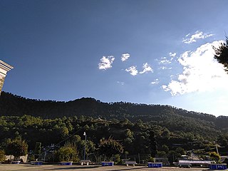
Iliatenco

Last updated
Iliatenco
Municipal seat and city
Mexico Guerrero location map.svg
Red pog.svg
Iliatenco
Location in Mexico
Mexico States blank map.svg
Red pog.svg
Iliatenco
Iliatenco (Mexico)
Coordinates: 16°58′N98°40′W / 16.967°N 98.667°W / 16.967; -98.667
CountryFlag of Mexico.svg  Mexico
State Guerrero
Municipality Iliatenco
Time zone UTC-6 (Zona Centro)

Iliatenco is a city and seat of the municipality of Iliatenco, in the Mexican state of Guerrero. [1]

Related Research Articles

<span class="mw-page-title-main">Guerrero</span> State of Mexico

Guerrero, officially the Free and Sovereign State of Guerrero, is one of the 32 states that comprise the 32 Federal Entities of Mexico. It is divided into 81 municipalities. The state has a population of about 3.5 million people. It is located in southwest Mexico and is bordered by the states of Michoacán to the north and west, the State of Mexico and Morelos to the north, Puebla to the northeast and Oaxaca to the east. In addition to the capital city, Chilpancingo and the largest city Acapulco, other cities in Guerrero include Petatlán, Ciudad Altamirano, Taxco, Iguala, Ixtapa, and Zihuatanejo. Today, it is home to a number of indigenous communities, including the Nahuas, Mixtecs, Tlapanecs, Amuzgos, and formerly Cuitlatecs. It is also home to communities of Afro-Mexicans in the Costa Chica region.

<span class="mw-page-title-main">Sierra Madre del Sur pine–oak forests</span> Tropical coniferous forest ecoregion in Mexico

The Sierra Madre del Sur pine–oak forests is a subtropical coniferous forest ecoregion in the Sierra Madre del Sur mountain range of southern Mexico.

References

  1. Instituto Nacional de Estadística y Geografía. Principales resultados por localidad 2005 (ITER). Retrieved on December 23, 2008