Kote Kota | |
|---|---|
Village | |
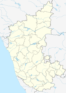  Kote Location in Karnataka, India | |
| Coordinates: 13°30′54″N74°42′20″E / 13.51500°N 74.70556°E | |
| Country |  India |
| State | Karnataka |
| District | Udupi district |
| Languages | |
| • Official | Kannada,Kundagannada ,Tulu |
| Time zone | UTC+5:30 (IST) |
| PIN | 576221 [1] |
| Telephone code | 0820 [2] |
| Vehicle registration | KA-20 [3] |
| Nearest city | Udupi |
| Lok Sabha constituency | Udupi-Chikmagalur |
Kote or Kota is a town on NH 66 in Brahmavar taluk, in the Indian state of Karnataka. On the way from Brahmavar to Kundapura.

