
Argyll and Bute is one of 32 unitary council areas in Scotland and a lieutenancy area. The current lord-lieutenant for Argyll and Bute is Jane Margaret MacLeod. The administrative centre for the council area is in Lochgilphead at Kilmory Castle, a 19th-century Gothic Revival building and estate. The current council leader is Councillor Jim Lynch.
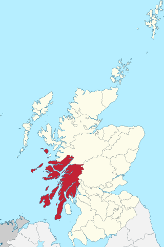
Argyll, sometimes called Argyllshire, is a historic county and registration county of western Scotland. The county ceased to be used for local government purposes in 1975 and most of the area now forms part of the larger Argyll and Bute council area.
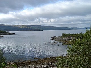
Kilchoan is a village on the Scottish peninsula of Ardnamurchan, beside the Sound of Mull in Lochaber, Highland. It is the most westerly village in mainland Britain, although several tiny hamlets lie further west on the peninsula. The western linear, coastal parts of the village are Ormsaigmore and Ormsaigbeg.

Ardnamurchan is a 50-square-mile (130-square-kilometre) peninsula in the ward management area of Lochaber, Highland, Scotland, noted for being very unspoiled and undisturbed. Its remoteness is accentuated by the main access route being a single track road for much of its length. The most westerly point of mainland Great Britain, Corrachadh Mòr, is in Ardnamurchan.
Glen Coe is a glen of glacial origins, that cuts though volcanic rocks in the Highlands of Scotland. It lies in the north of the county of Argyll, close to the border with the historic province of Lochaber, within the modern council area of Highland. Glen Coe is regarded as the home of Scottish mountaineering and is popular with hillwalkers and climbers.
Torsa is one of the Slate Islands in Argyll and Bute, Scotland. Lying east of Luing and south of Seil, this tidal island was inhabited until the 1960s. There is now only one house there, which is used for holiday lets. The underlying bedrock is slate but unlike Torsa's immediate island neighbours this has never been worked commercially. The island's name is of Norse origin but the most prominent historical structure on the island is the ruined Caisteal nan Con on the northeast shore, once held by Clan Campbell. The abundant sea life in the waters surrounding the island are protected by the Loch Sunart to the Sound of Jura Marine Protected Area.

Ronay is an island in the Outer Hebrides of Scotland, which lies a short distance off the east coast of Grimsay.
Eilean Mòr, literally meaning "large island" in Scottish Gaelic, is the name of several Scottish islands. In some areas, the term merely refers to the large island of a group, and may be used in place of the actual name:
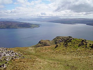
The Sound of Mull is a sound between the Inner Hebridean island of Mull and mainland Scotland. It forms part of the Atlantic Ocean.

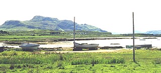
Kames Bay is small remote tidal north by northwest facing coastal embayment forming part of the southern coast of Loch Melfort within Argyll and Bute, Scotland.
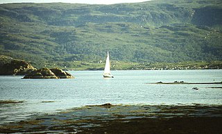
Glenborrodale Bay is a remote tidal, 200° orientated, coastal embayment, located on the southern coastline of the west to east orientated Ardnamurchan peninsula, at the head of the sea loch Loch Sunart in western Scottish Highlands of Scotland. To the west is the large Ardgour peninsula, of which the Ardnamurchan and the larger Morven peninsula to the south is part of.
Glenmore Bay is a remote, tidal, 150° orientated, coastal embayment, located on the southern coastline of the west to east orientated Ardnamurchan peninsula, at the head of the sea loch Loch Sunart.