Lowville Township is a township in Murray County, Minnesota, United States. The population was 175 at the 2000 census.

Martinsburg is a town in Lewis County, New York, United States. The population was 1,433 at the 2010 census. The town is named after its founding father, General Walter Martin.

Asylum Township is a township in Bradford County, Pennsylvania, United States. It is part of Northeastern Pennsylvania. The population was 999 at the 2020 census. The town contains the historic site of French Azilum.

Smith Township is a township in Washington County, Pennsylvania, United States. As of the 2020 census, the township population was 4,224.

Cleveland is a town in Chippewa County, Wisconsin, United States. The population was 864 at the 2010 census.

The Town of Montrose is located in Dane County, Wisconsin, United States. The population was 1,134 at the 2000 census. The unincorporated communities of Basco and Paoli are located within the town.

Oakland is a town in Douglas County, Wisconsin, United States. The population was 1,144 at the 2000 census.

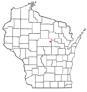
The Town of Peru is a Town located in Dunn County, Wisconsin, United States. The population was 247 at the 2000 census. The unincorporated communities of Meridean and Red Cedar and the ghost towns of Old Tyrone and Old Meridean are located in the town.

Jordan is a town in Green County, Wisconsin, United States. The population was 577 at the 2000 census. The unincorporated community of Jordan Center is located in the town.
The Town of Norrie is located in Marathon County, Wisconsin, United States. It is part of the Wausau, Wisconsin Metropolitan Statistical Area. The population was 976 at the 2010 census.

The Town of Apple River is located in Polk County, Wisconsin, United States. The population was 1,067 at the 2000 census. The unincorporated community of Range is located partially in the town.

The Town of Newark is located in Rock County, Wisconsin, United States. The population was 1,571 at the 2000 census. The unincorporated community of Newark is located in the town.

The Town of Union is located in Rock County, Wisconsin, United States. The population was 1,860 at the 2000 census. The town surrounds the city of Evansville.

The Town of Strickland is located in Rusk County, Wisconsin, United States. The population was 300 at the 2000 census.

The Town of Black Earth is located in Dane County, Wisconsin, United States. The population was 510 at the 2020 census.

The Town of Cottage Grove is located in Dane County, Wisconsin. As of the 2020 census, the town had a population of 3,791. The Village of Cottage Grove is located partially in the town, but is governed independently. The unincorporated communities of Door Creek, Nora, and Vilas also are located in the town. The unincorporated communities of Hoffman Corners and Hope also are located partially in the town.

The Town of Albany is a town located in Green County, Wisconsin, United States. The population was 1,189 at the 2020 Census. The Village of Albany is located within the town. The unincorporated community of Mineral Point is also located in the town.
The Town of Arena is a town located in Iowa County, Wisconsin, United States. The population was 1,444 at the 2000 census. The Village of Arena is located within the town. The unincorporated communities of Coon Rock, and Helena are also located within the town.
The Town of Spencer is located in Marathon County, Wisconsin, United States. It is part of the Wausau, WI Metropolitan Statistical Area. The population was 1,581 at the 2010 census. The village of Spencer is located in the northeastern part of the town.The unincorporated community of Mann also is located in the town.
The Town of Weston is located in Marathon County, Wisconsin, United States. It is part of the Wausau, Wisconsin Metropolitan Statistical Area. The population was 657 at the 2020 census.

