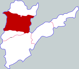
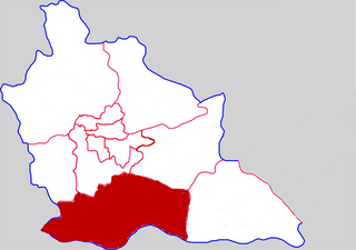
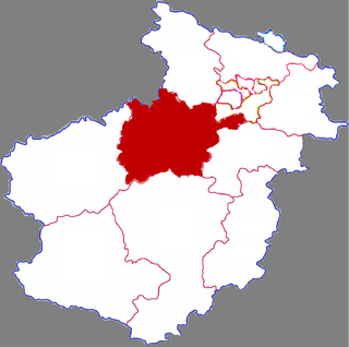
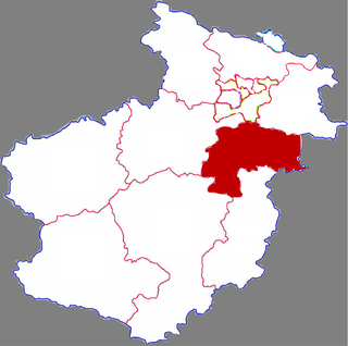
Yanshi District is a district in the prefecture-level city of Luoyang in western Henan province,China. Yanshi lies on the Luo River and is the easternmost county-level division of Luoyang.

Weihui,formerly Jixian or Ji County,is a county-level city in the north of Henan province,China. It is under the administration of the prefecture-level city of Xinxiang. The city has an area of 882 km2 (341 sq mi) and a population of 480,000

Xin'an County is a county in the west of Henan Province,bordering Shanxi Province to the north across the Yellow River. It is under the administration of the prefecture-level city of Luoyang,and contains its northernmost point.

Ningyang is a county under the administration of the prefecture-level city of Tai'an,Shandong Province,China.

Ruyang County is a county in the west of Henan province,China,under the jurisdiction of the prefecture-level city of Luoyang.

Qingfeng County is a county located in the northeast of Henan province,bordering the provinces of Hebei to the northwest and Shandong to the east. It is under the administration of the prefecture-level city of Puyang. In the Han Dynasty,Dunqiu County was located somewhere near this area,possibly to the southwest of the modern day county. At the time,it was a part of Dong Commandery. Cao Cao was made governor of Dunqiu County,following his assignment as Captain of the Northern District (北都尉) of Luoyang.

Gongyi,formerly Gong County,is a county-level city of Henan Province,South Central China,it is under the administration of the prefecture-level city of Zhengzhou. It has a population of 790,000 people and an area of 1,041 km2 (402 sq mi).

Zhongmu County is a county of Henan Province,South Central China,it is under the administration of the prefecture-level city of Zhengzhou,the capital of Henan. It has an area of 1,416.8 km2 (547.0 sq mi) and a population of 680,000. Located in the north-central part of the province,it is the easternmost county-level division of Zhengzhou.

Luanchuan County is a county under the jurisdiction of the prefecture-level city of Luoyang,in the west of Henan province,China.

Song County or Songxian is a county under the administration of the prefecture-level city of Luoyang,in the west of Henan Province,China. It contains the southernmost point of Luoyang's administrative area. It was the first capital of China during the Xia Dynasty.

Yuanyang County is a county under the administration of the prefecture-level city of Xinxiang,in the north of Henan province,China.
Fengqiu County is a county in the north of Henan province,located on the north (left) bank of the Yellow River. It is under the administration of the prefecture-level city of Xinxiang.
Sheqi County is a county in the southwest of Henan province,China. It is under the administration of the prefecture-level city of Nanyang,and has an area of 1,203 km2 (464 sq mi) and a population of 630,000 as of 2002.

Yiyang is a county under the administration of the prefecture-level city of Luoyang city,Henan province,China,historically called Shou'an County. Fuchang County of the Tang and Song dynasties was located in Yiyang. In 1072 Fuchang was merged into Shou'an,and in 1186 Shou'an was renamed as Yiyang.
Wudi County is a county in the northwest of Shandong province,People's Republic of China,bordering Hebei province to the northwest and the Bohai Sea to the north. It is the northernmost county-level division of the prefecture-level city of Binzhou.

Luoning County is a county in the west of Henan province,China. It is under the administration of the prefecture-level city of Luoyang.

Yichuan County is a county in the west of Henan province,China. It is under the administration of the prefecture-level city of Luoyang.
Neihuang County is a county in the north of Henan province,China,bordering Hebei province to the north. It is under the administration of Anyang city.
Xi County or Xixian is a county in the southeast of Henan province,China. It is the northernmost county-level division of Xinyang. The primary dialect is Zhongyuan Mandarin.
Zhengyang County is a county in the southeast of Henan province,China. It is under the administration of the prefecture-level city of Zhumadian.


