Taft Heights is a census-designated place (CDP) in Kern County, California, United States. Taft Heights is located 1 mile (1.6 km) west-southwest of Taft, at an elevation of 1,178 feet (359 m). The population was 1,949 at the 2010 census, up from 1,865 at the 2000 census.

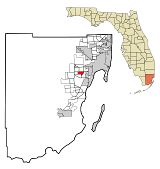
Coral Terrace is a suburban unincorporated community and census-designated place (CDP) in Miami-Dade County, Florida, United States. It is part of the Miami metropolitan area of South Florida. The population was 23,142 at the 2020 census, down from 24,376 in 2010.

Olympia Heights is a census-designated place in Miami-Dade County, Florida, United States. It is located in the Miami metropolitan area of South Florida. The population was 12,873 at the 2020 census.

Sunset is a census-designated place (CDP) in Miami-Dade County, Florida, United States. It is part of the Miami metropolitan area of South Florida. The population was 15,912 at the 2020 census. The U.S. Postal Service uses the ZIP Codes of 33173 and 33183 for Sunset.

Preston Heights is an unincorporated community and census-designated place (CDP) in Will County, Illinois, United States. As of the 2020 census, the CDP population was 2,898.

Benton Heights is an unincorporated community in Berrien County in the U.S. state of Michigan. It is also a census-designated place (CDP) for statistical purposes without any legal status as an incorporated municipality. Per the 2020 Census, the population was 3,652. The community is a part of Benton Charter Township and is adjacent to the city of Benton Harbor.

Mount Healthy Heights is a census-designated place (CDP) in Colerain Township, Hamilton County, Ohio, United States. The population was 2,918 at the 2020 census.

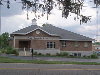
Perry Heights is a census-designated place in Stark County, Ohio, United States. The population was 8,391 at the 2020 census. It is part of the Canton–Massillon metropolitan area.

Lenape Heights is a census-designated place (CDP) in Armstrong County, Pennsylvania, United States. The population was 1,144 at the 2020 census.

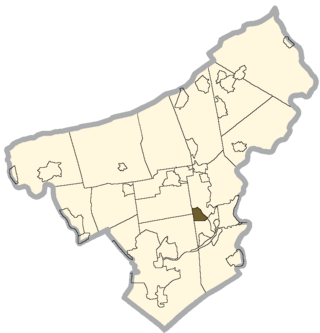
Palmer Heights is a census-designated place (CDP) in the Town of Palmer, Pennsylvania. The population of Palmer Heights was 3,762 at the 2010 census. Palmer Heights is part of the Lehigh Valley, which had a population of 861,899 and was the 68th-most populous metropolitan area in the U.S. as of the 2020 census.
Woodland Heights is a census-designated place (CDP) in Venango County, Pennsylvania, United States. The population was 1,402 at the 2000 census.
Lawson Heights is a census-designated place (CDP) in Unity Township, Westmoreland County, Pennsylvania, United States. The population was 2,339 at the 2000 census.

Ashland Heights is a census-designated place (CDP) and unincorporated community in Pennington County, South Dakota, United States. The population was 678 at the 2020 census.
Colonial Heights is a census-designated place (CDP) in Sullivan County, Tennessee, United States. It is located within the city of Kingsport.

Longview Heights is a census-designated place (CDP) in Cowlitz County, Washington, United States. The population was 4,033 at the 2020 Census. The CDP is known locally as Columbia Heights.

Eschbach is a census-designated place (CDP) in Yakima County, Washington, United States. The population was 441 at the 2020 census.

Gleed is a census-designated place (CDP) in Yakima County, Washington, United States. The population was 2,873 at the 2020 census.

Satus is a census-designated place (CDP) in Yakima County, Washington, United States, located on the eastern corner of the Yakama Indian Reservation. The population was 746 at the 2000 census. It is southwest from the Toppenish National Wildlife Refuge. The community was not recognized in the 2010 census. The area was first settled and established as a post office location in 1890.

Summitview is a census-designated place (CDP) in Yakima County, Washington, United States. The population was 2,066 at the 2020 census, a dramatic increase of 967 from the 2010 census.

West Valley is a former census-designated place (CDP) in Yakima County, Washington, United States. The area has been annexed by the city of Yakima. The population was 10,433 at the 2000 census.


