
Palisade is a city in Aitkin County, Minnesota, United States. The population was 162 at the 2020 census.

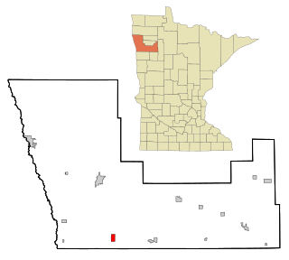
Blackduck is a city in Beltrami County, Minnesota, United States. The population was 845 as of the 2020 census. It is 24 mi (39 km) northeast of Bemidji.

Carlton is a city and the county seat of Carlton County, Minnesota, United States. The population was 948 at the 2020 census. The town sits on the northwestern edge of Jay Cooke State Park.
Backus is a city in Cass County, Minnesota, United States. The population was 262 at the 2020 census. It is part of the Brainerd Micropolitan Statistical Area.

Nisswa is a city in Crow Wing County, Minnesota, United States. The population was 1,971 at the 2010 census. Nisswa is part of the Brainerd Micropolitan Statistical Area, near Gull Lake.

Whalan is a city in Fillmore County, Minnesota, United States. The population was 63 at the 2010 census.

Sunburg is a city in Kandiyohi County, Minnesota, United States. The population was 94 at the 2020 census.

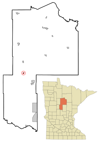
Hillman is a city in Morrison County, Minnesota, United States. The population was 23 at the 2020 census.

Waltham is a city in Mower County, Minnesota, United States. The population was 164 at the 2020 census.
Beltrami is a city in Polk County, Minnesota, United States and was named in honor of Giacomo Costantino Beltrami, an Italian exile, who traveled to the Red river and the upper Mississippi in 1823. Officially incorporated on September 11, 1901, there had been settlers in the area since 1870. It is part of the Grand Forks, ND-MN Metropolitan Statistical Area. The population was 88 at the 2020 census.
Vadnais Heights is a city in Ramsey County, Minnesota, United States. The population was 12,912 at the 2020 census.

Gaylord is a city and the county seat of Sibley County, Minnesota, United States, along the shore of Titlow Lake. It is approximately 65 miles (105 km) west-southwest of Minneapolis-St. Paul. The population was 2,305 at the 2010 census.

Cook is a city in Saint Louis County, Minnesota, United States. The population was 534 at the 2020 census.

Gilbert is a city in St. Louis County, Minnesota, United States. The population was 1,687 at the 2020 census. State Highway 37 and State Highway 135 are two of the main routes in Gilbert. Gilbert is part of the Quad Cities, with Virginia, Eveleth, and Mountain Iron. The city is named for Giles Gilbert, who led the exploration of the McKinley mine property in the 1890s.

Hoyt Lakes is a city in Saint Louis County, Minnesota. The population was 2,020 at the time of the 2020 census.

Iron Junction is a city in Saint Louis County, Minnesota, United States. The population was 110 at the 2020 census.

St. Marys Point or Saint Marys Point is a city in Washington County, Minnesota, United States. The population was 353 at the 2020 census.

Campbell is a city in Wilkin County, Minnesota, United States. The population was 164 at the 2020 census. It is part of the Wahpeton, ND-MN Micropolitan Statistical Area.

Nashua is a city in Wilkin County, Minnesota, United States. The population was 67 at the 2020 census. It is part of the Wahpeton, ND-MN Micropolitan Statistical Area.

Twin Valley is a city in Norman County, Minnesota, United States, along the Wild Rice River. The population was 723 at the 2020 census.


