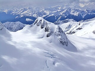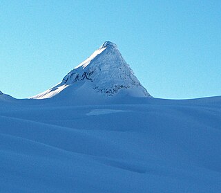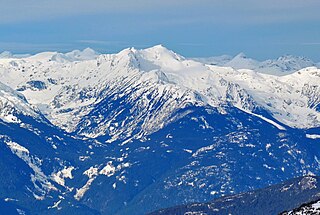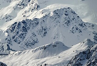
Mount Spetch is a 2,579-metre (8,461-foot) mountain summit located in the Coast Mountains, in Joffre Lakes Provincial Park, in southwestern British Columbia, Canada. It is part of the Joffre Group, which is a subset of the Lillooet Ranges. It is situated 25 km (16 mi) east of Pemberton, midway between Mount Matier and Slalok Mountain, both one kilometre either side of Spetch. The mountain's name was submitted by Karl Ricker of the Alpine Club of Canada to honor Samuel W. Spetch, who operated the general store at Birken, and other businesses in Pemberton. The name was officially adopted on January 23, 1979, by the Geographical Names Board of Canada. The first ascent of the mountain was made in 1971 by J. Oswald and G. Walter. Precipitation runoff from the peak drains into Joffre Creek and Twin One Creek, both tributaries of the Lillooet River. The mountain and its climate supports the Matier Glacier on the northern slope.

Mount Hartzell is a 2,615-metre (8,579-foot) mountain summit located in the Coast Mountains, in Joffre Lakes Provincial Park, in southwestern British Columbia, Canada. It is part of the Joffre Group, which is a subset of the Lillooet Ranges. It is situated 25 km (16 mi) east of Pemberton, midway between Mount Matier and Mount Spetch, each a half kilometre either side of Hartzell. The mountain's name was submitted by Karl Ricker of the Alpine Club of Canada to honor Carl A. Hartzell, an early settler and postmaster at Pemberton. The name was officially adopted on January 23, 1979, by the Geographical Names Board of Canada. Precipitation runoff from the peak drains into Joffre Creek and Twin One Creek, both tributaries of the Lillooet River. The mountain and its climate supports the Hartzell Glacier on the southeast slope, and the Matier Glacier on the northern slope.

Duffey Peak is a 2,219-metre (7,280-foot) mountain summit located in southwest British Columbia, Canada.

Goat Peak is a 2,473-metre (8,114-foot) summit located in the Pemberton Valley of British Columbia, Canada.

Rhododendron Mountain is a 2,523-metre (8,278-foot) glaciated summit in British Columbia, Canada.

Cloudraker Mountain is a 2,385-metre (7,825-foot) glaciated summit in British Columbia, Canada.
Whitecap Mountain is a 2,918-metre (9,573-foot) summit in British Columbia, Canada.

Mount Sir Richard is a 2,681-metre (8,796-foot) glaciated summit in British Columbia, Canada.

In-SHUCK-ch Mountain is a 2,386-metre (7,828-foot) summit in British Columbia, Canada.

Outlier Peak is a 2,422-metre (7,946-foot) mountain summit in British Columbia, Canada.

Nivalis Mountain is a 2,659-metre (8,724-foot) mountain summit in British Columbia, Canada.

Mount Neal is a 2,552-metre (8,373-foot) glaciated summit in British Columbia, Canada.

Carcajou Peak is a 2,239-metre (7,346-foot) mountain summit in British Columbia, Canada.

Mount Moe is a 2,664-metre (8,740-foot) glaciated summit in British Columbia, Canada.

Shudder Mountain is a 2,671-metre (8,763-foot) summit in British Columbia, Canada.

Icecap Peak is a 2,435-metre (7,989-foot) glaciated summit in British Columbia, Canada.

Klowa Mountain is a 2,527-metre (8,291-foot) summit in British Columbia, Canada.

Mount Evans is a 2,250-metre (7,382-foot) glaciated summit in British Columbia, Canada.

Tzoonie Mountain is a 2,123-metre (6,965-foot) summit in British Columbia, Canada.

Mount Pitt is a 2,487-metre (8,159-foot) summit in British Columbia, Canada.


