
Canteen Township is located in St. Clair County, Illinois. As of the 2010 census, its population was 10,263 and it contained 4,027 housing units. Canteen Township was formed from Centreville Station Township when it was subdivided on March 5, 1910.

Peru Township is located in LaSalle County, Illinois. As of the 2010 census, its population was 10,732 and it contained 4,971 housing units. Peru Township was originally named Salisbury Township, but was changed on September 27, 1856.

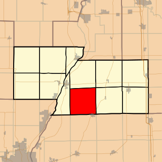
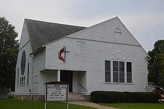
Tremont Township is located in Tazewell County, Illinois. As of the 2010 census, its population was 2,641 and it contained 1,043 housing units.

Canoe Creek Township is located in Rock Island County, Illinois. As of the 2010 census, its population was 711 and it contained 317 housing units.
Richland Township is located in Marshall County, Illinois. As of the 2010 census, its population was 446 and it contained 195 housing units.

Cedar Township is one of twenty-one townships in Knox County, Illinois, USA. As of the 2010 census, its population was 3,270 and it contained 1,487 housing units. Its name was changed from Cherry Grove Township on June 8, 1853.

Blandinsville Township is located in McDonough County, Illinois. As of the 2010 census, its population was 846 and it contained 445 housing units.
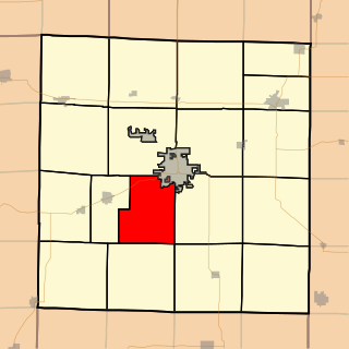
Chalmers Township is located in McDonough County, Illinois. As of the 2010 census, its population was 686 and it contained 326 housing units.

Hire Township is located in McDonough County, Illinois. As of the 2010 census, its population was 229 and it contained 117 housing units.

Woodstock Township is located in Schuyler County, Illinois. As of the 2010 census, its population was 388 and it contained 177 housing units.

Hardin Township is located in Pike County, Illinois. As of the 2010 census, its population was 212 and it contained 105 housing units.
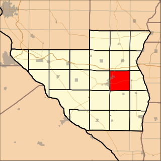
Newburg Township is located in Pike County, Illinois. As of the 2010 census, its population was 949 and it contained 428 housing units.

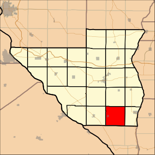
Perry Township is located in Pike County, Illinois. As of the 2010 census, its population was 594 and it contained 310 housing units.

Pittsfield Township is located in Pike County, Illinois. As of the 2010 census, its population was 4,477 and it contained 1,982 housing units.
Spring Creek Township is located in Pike County, Illinois. As of the 2010 census, its population was 591 and it contained 295 housing units.
Terre Haute Township is one of eleven townships in Henderson County, Illinois, USA. As of the 2010 census, its population was 263 and it contained 122 housing units.

Waterford Township is one of twenty-six townships in Fulton County, Illinois, USA. As of the 2010 census, its population was 187 and it contained 92 housing units.

Woodland Township is one of twenty-six townships in Fulton County, Illinois, USA. As of the 2010 census, its population was 415 and it contained 195 housing units.

Walker Township is one of twenty-four townships in Hancock County, Illinois, USA. As of the 2010 census, its population was 333 and it contained 163 housing units.

Degognia Township is one of 16 townships in Jackson County, in the U.S. state of Illinois. As of the 2010 census, its population was 153 and it contained 73 housing units. The township derives its name from Degognia Creek.


