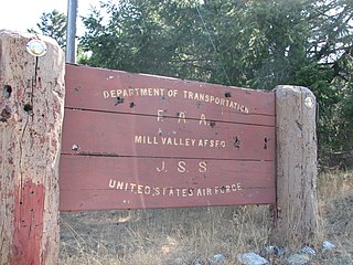
Ground Equipment Facility J-33 is a Federal Aviation Administration (FAA) radar station of the Joint Surveillance System's Western Air Defense Sector (WADS) with an Air Route Surveillance Radar (ARSR-4). The facility was previously a USAF general surveillance radar station during the Cold War.
The Southwest Air Defense Sector (SWADS) is an inactive United States Air Force organization. Its last assignment was with the First Air Force, being stationed at March Air Force Base, California. It was inactivated on December 31, 1994.

Charleston Air Force Station is a defunct Air Force Station that opened in 1952 and closed in 1980. It was located in Charleston, Maine and is the site of a radar station and other buildings. After closure, it was redeveloped into a juvenile jail for the state of Maine.
The 685th Aircraft Control and Warning Squadron is an inactive United States Air Force unit. It was last assigned to the Oklahoma City Air Defense Sector, Aerospace Defense Command, stationed at Las Cruces Air Force Station, New Mexico. It was inactivated on 1 August 1963.
Palermo Air Force Station is a closed United States Air Force (USAF) General Surveillance Radar station. It was located in Palermo, New Jersey, 4.8 miles (7.7 km) north of Sea Isle City, in Cape May County, New Jersey, United States. It was closed in 1970.
Snow Mountain Air Force Station is a closed United States Air Force General Surveillance Radar station. It is located 1.9 miles (3.1 km) west-southwest of Godman Army Airfield, Kentucky. It was closed in 1968.

Belleville Air Force Station is a closed United States Air Force General Surveillance Radar station. It is located 2 miles (3.2 km) southeast of Belleville, Illinois. It was closed in 1968.

Kirksville Air Force Station is a closed United States Air Force General Surveillance Radar station. It is located 7.1 miles (11.4 km) north of Kirksville, Missouri. It was closed by the Air Force in 1968. Today the radar site is used by the Federal Aviation Administration (FAA) as a Joint Surveillance System (JSS) site.
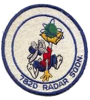
Rockville Air Force Station is a closed United States Air Force General Surveillance Radar station. It is located 1.7 miles (2.7 km) west-northwest of Rockville, Indiana. It was closed in 1966.
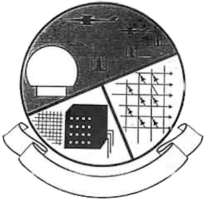
Hanna City Air Force Station is a closed United States Air Force General Surveillance Radar station. It is located 1.6 miles (2.6 km) west-northwest of Hanna City, Illinois. It was closed in 1968. It is still in use by the Federal Aviation Administration as a Joint Surveillance System radar station.
Omaha Air Force Station is a closed United States Air Force General Surveillance Radar station. It is located 7.5 miles (12.1 km) north of Omaha, Nebraska. It was closed in 1968.

Gettysburg Air Force Station is a closed United States Air Force General Surveillance Radar station. It is located 2.6 miles (4.2 km) north of Gettysburg, South Dakota. It was closed in 1968.
Boron Air Force Station is a closed United States Air Force General Surveillance Radar station. It is located 6.8 miles (10.9 km) northeast of Boron, California. It was closed by the Air Force in 1975 and turned over to the Federal Aviation Administration (FAA). The radar site is still operated by the FAA as part of the Joint Surveillance System (JSS).
Cambria Air Force Station is a closed United States Air Force General Surveillance Radar station. It is 3 miles (4.8 km) south-southeast of Cambria, California. It was closed in 1980.

Mount Laguna Air Force Station is a closed United States Air Force General Surveillance Radar station. It is located 24.3 miles (39.1 km) north-northeast of Tecate, California. It was closed in 1981 by the Air Force, and turned over to the Federal Aviation Administration (FAA).
Santa Rosa Island Air Force Station is a closed United States Air Force General Surveillance Radar station. It is located 5.8 miles (9.3 km) southwest of the Santa Rosa Island dock, California. It was closed in 1963.
Santa Rosa Island Air Force Station is a closed United States Air Force General Surveillance Radar station. It is 5.6 miles (9.0 km) south-southwest of Lompoc, California. It was closed in 1968 by the Air Force, and turned over to the Federal Aviation Administration (FAA).

Madera Air Force Station is a closed United States Air Force General Surveillance Radar station. It is located 5.2 miles (8.4 km) north-northeast of Madera, California. It was closed in 1966.

Winnemucca Air Force Station is a closed United States Air Force General Surveillance Radar station. It is located 3.1 miles (5.0 km) north-northwest of Winnemucca, Nevada. It was closed in 1968.
Houma Air Force Station is a closed United States Air Force General Surveillance Radar station. It is located 3.5 miles (5.6 km) southeast Houma, Louisiana. It was closed in 1970.
