
The National Register of Historic Places in the United States is a register including buildings, sites, structures, districts, and objects. The Register automatically includes all National Historic Landmarks as well as all historic areas administered by the U.S. National Park Service. Since its introduction in 1966, more than 90,000 separate listings have been added to the register.

This is a list of properties and historic districts in West Virginia that are listed on the National Register of Historic Places. There are listings in every one of West Virginia's 55 counties.

Cedar Creek and Belle Grove National Historical Park became the 388th unit of the United States National Park Service when it was authorized on December 19, 2002. The National Historical Park was created to protect several historically significant locations in the Shenandoah Valley of Northern Virginia, notably the site of the American Civil War Battle of Cedar Creek and the Belle Grove Plantation.

The Virginia Landmarks Register (VLR) is a list of historic properties in the Commonwealth of Virginia. The state's official list of important historic sites, it was created in 1966. The Register serves the same purpose as the National Register of Historic Places. The nomination form for any Virginia site listed on the VLR is sent forward to the National Park Service for consideration for listing on the National Register.
The Bull Thistle Cave Archaeological Site is an archaeological site on the National Register of Historic Places, located in Tazewell County, Virginia. It is a vertical shaft pit burial cave. The distribution of the skeletal remains indicates that bodies were either thrown or lowered into the cave. On the surface of the cave floor, researchers have discovered the remains of a minimum of 11 bodies. Based on an artifact recovered from the site, it is estimated that the cave was used for burials between 1300 and 1600 AD.

This is a list of the National Register of Historic Places listings in Albemarle County, Virginia.

This is a list of the National Register of Historic Places listings in Chesterfield County, Virginia.

This is a list of the National Register of Historic Places listings in Wood County, West Virginia.

This is a list of the National Register of Historic Places listings in Cabell County, West Virginia.
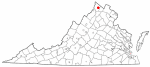
This is a list of the National Register of Historic Places listings in Winchester, Virginia.
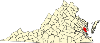
This is a list of the National Register of Historic Places listings in Gloucester County, Virginia.
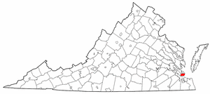
This is a list of the National Register of Historic Places listings in Hampton, Virginia.

This is a list of the National Register of Historic Places listings in King and Queen County, Virginia.
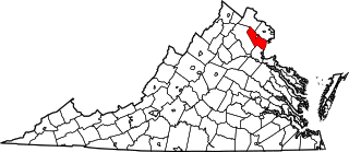
This is a list of the National Register of Historic Places listings in Prince William County, Virginia.

This is a list of the National Register of Historic Places listings in York County, Virginia.
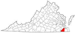
This is a list of the National Register of Historic Places listings in Suffolk, Virginia.

This is a list of the National Register of Historic Places listings in Surry County, Virginia.

This is a list of the National Register of Historic Places listings in Southampton County, Virginia.

This is a list of the National Register of Historic Places listings in Highland County, Virginia.
The National Register Information System (NRIS) is a database of properties that have been listed on the United States National Register of Historic Places. The database includes more than 84,000 entries of historic sites that are currently listed on the National Register, that were previously listed and later removed, or that are pending listing. The database includes approximately 45 pieces of data for each listed property. Accuracy of the NRIS database may be imperfect. For example, a 2004 paper addressed accuracy of spatial location data for part of the NRIS content.


