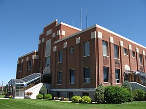
Minidoka County is a county located in the U.S. state of Idaho. As of the 2020 census, the population was 21,613. The county seat and largest city is Rupert.
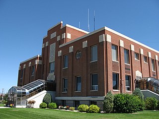
Cassia County is a county in the U.S. state of Idaho. As of the 2020 Census the county had a population of 24,655. The county seat and largest city is Burley. Cassia County is included in the Burley, ID Micropolitan Statistical Area.

Burley is a city in Cassia and Minidoka counties in southern Idaho, United States. The population was 11,704 at the 2020 census, up from 10,345 in 2010. The city is the county seat of Cassia County.

Declo is a city in Cassia County, Idaho, United States. It is part of the Burley, Idaho micropolitan area. The population was 338 at the time of the 2020 Census, down from 343 in 2010.

Malta is a city in Cassia County, Idaho, United States. The population was 193 at the 2010 census. It is part of the Burley, Idaho Micropolitan Statistical Area.

Acequia is a city in Minidoka County, Idaho, United States. The population was 131 at the 2020 census. It is part of the Burley, Idaho Micropolitan Statistical Area. The town is named for the Spanish word for canal.

Heyburn is a city in Minidoka County, Idaho, United States. The population was 3,700 at the 2020 census, up from 3,089 in 2010. It is part of the Burley micropolitan area.

Rupert is the county seat and largest city of Minidoka County, Idaho. It is part of the Burley Micropolitan Statistical Area. The population was 6,082 at the 2020 census, up from 5,554 in 2010.
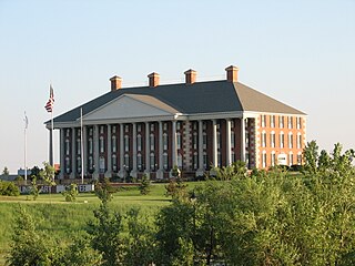
The Watertown Micropolitan Statistical Area, as defined by the United States Census Bureau, is an area consisting of one counties in South Dakota, anchored by the city of Watertown. As of the 2000 census, the μSA had a population of 31,437.

The Hastings Micropolitan Statistical Area, as defined by the United States Census Bureau, is an area consisting of two counties in Nebraska, anchored by the city of Hastings.

The Kearney Micropolitan Statistical Area, as defined by the United States Census Bureau, is an area consisting of two counties in Nebraska, anchored by the city of Kearney.
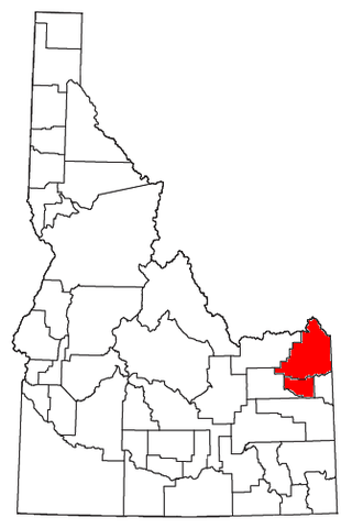
The Rexburg Micropolitan Statistical Area, as defined by the United States Census Bureau, is an area consisting of two counties in eastern Idaho, anchored by the city of Rexburg.
The Ontario Micropolitan Statistical Area, as defined by the United States Census Bureau, is an area consisting of two counties – one in southeastern Oregon and one in southwestern Idaho, anchored by the city of Ontario.

The Jackson Micropolitan Statistical Area, as defined by the United States Census Bureau, is an area consisting of two counties, one in Wyoming and one in Idaho, anchored by the town of Jackson.

The Roanoke Rapids, NC Micropolitan Statistical Area (μSA) as defined by the United States Census Bureau, is an area consisting of two counties in North Carolina, anchored by the city of Roanoke Rapids.
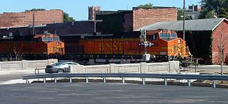
The Galesburg, IL Micropolitan Statistical Area, as defined by the United States Census Bureau, is an area consisting of two counties in west central Illinois, anchored by the city of Galesburg.

The Frankfort Micropolitan Statistical Area, as defined by the United States Census Bureau, is an area consisting of two counties in central Kentucky, anchored by the city of Frankfort. As of the 2000 census, the Micropolitan Statistical Area (μSA) had a population of 66,798.

The Jacksonville, IL Micropolitan Statistical Area, as defined by the United States Census Bureau, is an area consisting of two counties in west central Illinois, anchored by the city of Jacksonville.

The Emporia Micropolitan Statistical Area, as defined by the United States Census Bureau, is an area consisting of two counties in Kansas, anchored by the city of Emporia.

The Dickinson Micropolitan Statistical Area, as defined by the United States Census Bureau, is an area consisting of two counties in North Dakota, anchored by the city of Dickinson. As of the 2010 census, the μSA had a population of 24,982.
