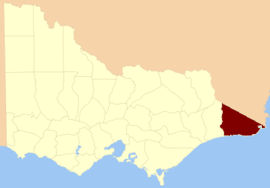
The Shire of East Gippsland is a local government area in Gippsland, Victoria, Australia, located in the eastern part of the state. It covers an area of 20,931 square kilometres (8,082 sq mi) and at the 2016 Census had a population of approximately 45,000.

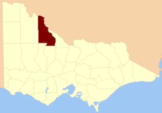
The County of Dalhousie is one of the 37 counties of Victoria which are part of the cadastral divisions of Australia, used for land titles. It is located to the north of Melbourne. It is bounded by the Coliban River to the west. The Goulburn River forms part of the boundary to the north-east. Puckapunyal is on its northern edge, and Kilmore and Woodend on its southern edge. The county was proclaimed in 1849.
The County of Talbot is one of the 37 counties of Victoria which are part of the cadastral divisions of Australia, used for land titles. It is located to the north of Ballarat, and includes Castlemaine. The county was proclaimed in 1849.

The County of Anglesey is one of the 37 counties of Victoria which are part of the cadastral divisions of Australia, used for land titles. It is located to the east of Seymour, on both sides of the Goulburn River. The county was proclaimed in 1849.

The County of Evelyn is one of the 37 counties of Victoria which are part of the cadastral divisions of Australia, used for land titles. It is located to the east of Melbourne, on both sides of the upper reaches of the Yarra River in the Yarra Valley. The Great Dividing Range is the boundary to the north. The county was proclaimed in 1849.

The County of Tanjil is one of the 37 counties of Victoria which are part of the cadastral divisions of Australia, used for land titles. It includes the coastal area around the Gippsland Lakes. The Mitchell River is the north-eastern boundary. Before the 1860s, the area was part of the former county of Bruce and part of Haddington.

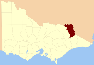
The County of Dargo is one of the 37 counties of Victoria which are part of the cadastral divisions of Australia, used for land titles. It is located in Gippsland, between the Mitchell River in the west and the Tambo River in the east. Lake King is on the southern edge. It was gazetted in 1871. Earlier maps show the area as being part of a proposed County of Abinger.
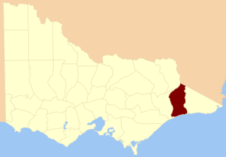
The County of Tambo is one of the 37 counties of Victoria which are part of the cadastral divisions of Australia, used for land titles. It is located in eastern Gippsland, between the Tambo River in the west, and the Snowy River in the east. It includes Lakes Entrance. Some time earlier maps showed proposed counties of Abinger and Combermere occupying the area.
The County of Benambra is one of the 37 counties of Victoria which are part of the cadastral divisions of Australia, used for land titles. It is located between the Mitta Mitta River in the west, and the Murray River to the north and east. The town of Benambra is located near the southern edge. The area of the county roughly corresponds with the Electoral district of Benambra. Corryong is the largest town in the county. The county was proclaimed in 1871.

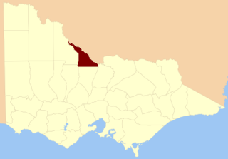
The County of Wonnangatta is one of the 37 counties of Victoria which are part of the cadastral divisions of Australia, used for land titles. It includes the western parts of the Alpine National Park. The Wonnangatta River is located in the east of the county. Lake Eildon is at the northwestern edge. Mount Buller is on the northern edge.

The County of Rodney is one of the 37 counties of Victoria which are part of the cadastral divisions of Australia, used for land titles. It is located between the Goulburn River in the east, and the Campaspe River in the west, with a small part of the Murray River to the north. Puckapunyal is near its southern edge. The former electoral district of Rodney was in a similar area.
The County of Gunbower is one of the 37 counties of Victoria which are part of the cadastral divisions of Australia, used for land titles. It is located to the south of the Murray River, from Swan Hill to Echuca.
The County of Tatchera is one of the 37 counties of Victoria which are part of the cadastral divisions of Australia, used for land titles. It is located to the south of the Murray River, and to the south west of Swan Hill, with its western boundary at 143°E, and part of the southern boundary at 36°S.
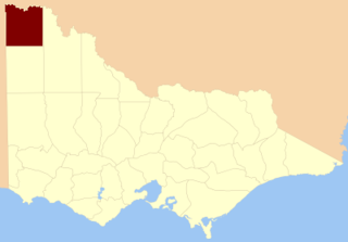
The County of Millewa is one of the 37 counties of Victoria which are part of the cadastral divisions of Australia, used for land titles. It is located to the south of the Murray River, at the north-western corner of Victoria, with the South Australian border to the west. This border was originally intended to be at the 141st meridian of longitude, but because of the South Australia-Victoria border dispute it is several miles to the west of it. The southern boundary of the county is at 35°S, and the eastern at 142°E. The name is also used for the region.

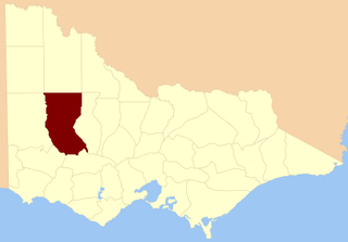
The County of Weeah is one of the 37 counties of Victoria which are part of the cadastral divisions of Australia, used for land titles. It is located south of Mildura, with the South Australian border to the west. This border was originally intended to be at the 141st meridian of longitude, but because of the South Australia-Victoria border dispute it is several miles to the west of it. The northern boundary of the county is at 35°S, and the eastern at 142°E. Its southern boundary is on the 36°S meridian. The County was proclaimed in 1871 together with the other counties of the Wimmera Land District.

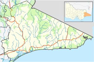
The Shire of Orbost was a local government area about 380 kilometres (236 mi) east of Melbourne, the state capital of Victoria, Australia. The shire covered an area of 9,347 square kilometres (3,608.9 sq mi), and existed from 1892 until 1994.

The County of Lowan is one of the 37 counties of Victoria which are part of the cadastral divisions of Australia, used for land titles. The northern boundary of the county is at 36°S. Larger towns include Dimboola, Edenhope and Kaniva. The county was proclaimed in 1871 together with the other counties of the Wimmera Land District.
The County of Borung is one of the 37 counties of Victoria which are part of the cadastral divisions of Australia, used for land titles. The northern boundary of the county is at 36°S. At the north its western boundary is 142°E, its eastern boundary is 143°E. Larger towns include Dimboola, Warracknabeal, Horsham and Stawell. The county was proclaimed in 1871 together with the other counties of the Wimmera Land District. The county was proclaimed in 1871.
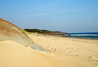
The Teal Creek, formerly known as Little River, is a perennial stream of the Genoa River catchment, located in the East Gippsland region of the Australian state of Victoria.