Patuanak is a community in northern Saskatchewan, Canada. It is the administrative headquarters of the Dene First Nations reserve near Churchill River and the north end of Lac Île-à-la-Crosse. In Dene, it sounds similar to Boni Cheri (Bëghą́nı̨ch’ërë).

The English River Dene Nation is a Dene First Nation band government in Patuanak, Saskatchewan, Canada. Their reserve is in the northern section of the province. Its territories are in the boreal forest of the Canadian Shield. This First Nation is a member of the Meadow Lake Tribal Council (MLTC).
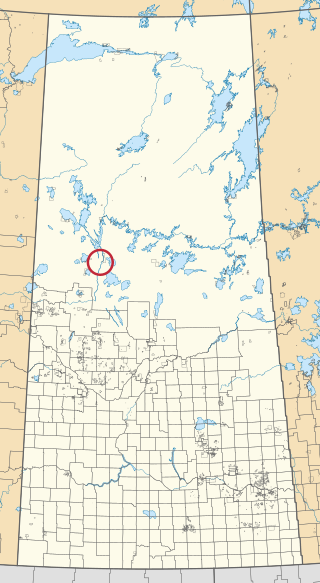
Beauval Forks 192O is an Indian reserve of the English River First Nation in Saskatchewan.
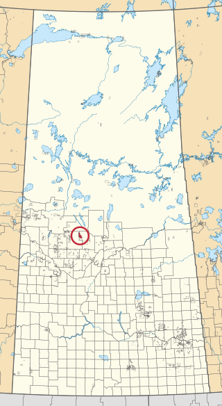
Big River 118 is an Indian reserve of the Big River First Nation in Saskatchewan. It is 98 kilometres northwest of Prince Albert. In the 2016 Canadian Census, it recorded a population of 1553 living in 366 of its 407 total private dwellings. In the same year, its Community Well-Being index was calculated at 46 of 100, compared to 58.4 for the average First Nations community and 77.5 for the average non-Indigenous community.
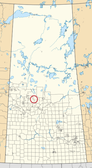
Big River 118A is an Indian reserve of the Big River First Nation in Saskatchewan.

Cable Bay 192M is an Indian reserve of the English River First Nation in Saskatchewan.

Cable Bay 192N is an Indian reserve of the English River First Nation in Saskatchewan.

La Plonge 192 is an Indian reserve of the English River First Nation in Saskatchewan. It is 19 kilometres south of Île-à-la-Crosse. In the 2016 Canadian Census, it recorded a population of 148 living in 46 of its 51 total private dwellings. In the same year, its Community Well-Being index was calculated at 59 of 100, compared to 58.4 for the average First Nations community and 77.5 for the average non-Indigenous community.
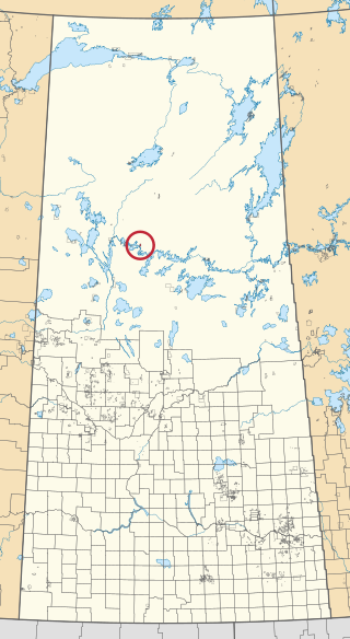
Elak Dase 192A is an Indian reserve of the English River First Nation in Saskatchewan. It is 27 miles southeast of Pine River.

Knee Lake 192B is an Indian reserve of the English River First Nation in Saskatchewan. It is 17 miles southeast of Pine River, on the Churchill River and the north shore of Knee Lake.

Canoe Lake 165A is an Indian reserve of the Canoe Lake Cree First Nation in Saskatchewan. It is 30 miles southwest of Île-à-la-Crosse.

Canoe Lake 165B is an Indian reserve of the Canoe Lake Cree First Nation in Saskatchewan. It is 22 miles southwest of Île-à-la-Crosse.

Chitek Lake 191 is an Indian reserve of the Pelican Lake First Nation in the Canadian province of Saskatchewan. It is located on the southern shore of Chitek Lake about 68 kilometres (42 mi) south-east of Meadow Lake. In the 2016 Canadian Census, it recorded a population of 821 living in 164 of its 300 total private dwellings. In the same year, its Community Well-Being index was calculated at 46 of 100, compared to 58.4 for the average First Nations community and 77.5 for the average non-Indigenous community.
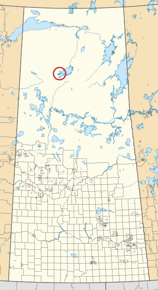
Cree Lake 192G is an Indian reserve of the English River First Nation in Saskatchewan.

English River 192H is an Indian reserve of the English River First Nation in Saskatchewan. It is an island in Porter Lake.

Fond du Lac 232 is an Indian reserve of the Fond du Lac Denesuline First Nation in Saskatchewan.

Île-à-la-Crosse 192E is an Indian reserve of the English River First Nation in Saskatchewan. It is 5 miles east of Île-à-la-Crosse, on the east shore of Lac Île-à-la-Crosse, Township 74, Range 12, west of the Third Meridian.
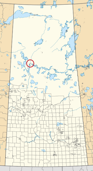
Leaf Rapids 192P is an Indian reserve of the English River First Nation in Saskatchewan.
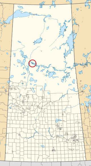
Primeau Lake 192F is an Indian reserve of the English River First Nation in Saskatchewan.

Wapachewunak 192D is an Indian reserve of the English River First Nation in Saskatchewan. It is north of Lac Île-à-la-Crosse.


