
Fairview is a town in Peace Country, Alberta, Canada. It is located 82 km (51 mi) southwest of Peace River and 115 km (71 mi) north of Grande Prairie at the intersection of Highway 2 and Highway 64A.
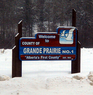
The County of Grande Prairie No. 1 is a municipal district in northwestern Alberta, Canada in Census Division No. 19.

Division No. 2 is a census division in Alberta, Canada. It is located in the south-central portion of southern Alberta and includes the City of Lethbridge.
Division No. 7 is a census division in Alberta, Canada. It is located in the southeast corner of central Alberta and its largest urban community is the Town of Wainwright.
Division No. 12 is a census division in Alberta, Canada. Including the City of Cold Lake, the majority of the division is located in the northeast corner of central Alberta. The northern portion of the division is located within northern Alberta.
Division No. 15 is a census division in Alberta, Canada. The majority of the division is located in Alberta's Rockies, while the southernmost portion of the division is located within southern Alberta. The division's largest urban community is the Town of Canmore.
Division No. 17 is a census division in Alberta, Canada. It spans the central and northwest portions of northern Alberta and its largest urban community is the Town of Slave Lake. Division No. 17 is the largest census division in Alberta according to area and also has the lowest population density.
Division No. 18 is a census division in Alberta, Canada. It is located in the southeast corner of northern Alberta and its largest urban community is the Hamlet of Grande Cache. The boundaries of the division are coextensive with the outer boundaries of the Municipal District of Greenview No. 16.

Grande Cache is a hamlet in West-Central Alberta, Canada within and administered by the Municipal District of Greenview No. 16. It is located on Highway 40 approximately 145 kilometres (90 mi) northwest of Hinton and 435 kilometres (270 mi) west of Edmonton. Grande Cache overlooks the Smoky River, is at the northern edge of Alberta's Rockies, and serves as a gateway to the Willmore Wilderness Park. The hamlet held town status prior to 2019.
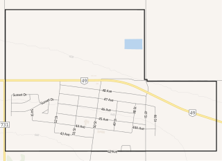
Spirit River is a town in northern Alberta, Canada. It is approximately 78 km (48 mi) north of Grande Prairie at the junction of Highway 49 and Highway 731.
Wembley is a town in northern Alberta, Canada. It is approximately 23 km (14 mi) west of Grande Prairie at the junction of Highway 43 and Highway 724.
Berwyn is a village in northwestern Alberta, Canada. It is located approximately 37 km (23 mi) west of the Town of Peace River, 10 km (6.2 mi) southwest of the Town of Grimshaw, and 15 km (9.3 mi) northeast of the Duncan's First Nation reserve.

Hines Creek is a village in northern Alberta, Canada. It is located 67 km west of Grimshaw and 28 km north of Fairview, along Highway 64.

Hythe is a hamlet in northwest Alberta, Canada within the County of Grande Prairie No. 1. It is located on Highway 43 approximately 58 km (36 mi) northwest of the City of Grande Prairie and 73 km (45 mi) southeast of the City of Dawson Creek, British Columbia. It held village status prior to July 2021.

The Municipal District of Acadia No. 34 is a municipal district (MD) in southern Alberta, Canada, east of Calgary, close to the Saskatchewan border, in Census Division No. 4.
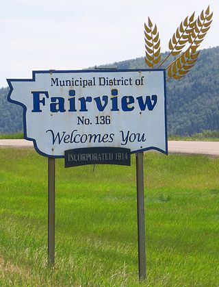
The Municipal District of Fairview No. 136 is a municipal district (MD) in northwestern Alberta, Canada. It is located in Census Division 19.

The Municipal District of Greenview No. 16 is a municipal district (MD) in northwest Alberta, Canada. It covers the full extent of Census Division 18, and with an area of 32,984 km2 (12,735 sq mi), it is the largest municipal district in Alberta. Its administrative office is located in the Town of Valleyview.

The Municipal District of Peace No. 135 is a municipal district (MD) in northwestern Alberta, Canada. Located in Census Division No. 19, its municipal office is located outside but adjacent to the Village of Berwyn.
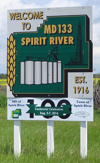
The Municipal District of Spirit River No. 133 is a municipal district (MD) in northwest Alberta, Canada, north of Grande Prairie. Located in the Upper Peace Region, its municipal office is located in the Town of Spirit River. With an area of 683.6 km2 (263.9 sq mi), it is the smallest municipal district in Alberta.
Bezanson is a hamlet in northern Alberta, Canada within the County of Grande Prairie No. 1. It is located approximately 30 kilometres (19 mi) east of Grande Prairie on Highway 43, west of the Smoky River.
