| Earl of Essex, Manor Park | |
|---|---|
 The Earl of Essex | |
 Earl of Essex  Earl of Essex | |
| General information | |
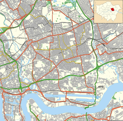
| Address | 616 Romford Road, Manor Park |
| Town or city | London |
| Country | England |
| Coordinates | 51°33′01″N0°02′51″E / 51.550369°N 0.047473075°E |
| Designations | |
Listed Building – Grade II | |
| Official name | Earl of Essex Public House |
| Designated | 25 October 1984 |
| Reference no. | 1357990 |
The Earl of Essex is a Grade II listed public house at 616 Romford Road, Manor Park, London. [1]
It was built in 1902 by the architects Henry Poston and William Edward Trent. [1]
The pub has been closed since 2012, and as of April 2016, it is hoped to reopen in the near future. [2] [3]