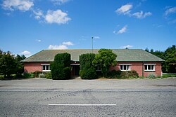
Kurow is a small town in the Waitaki District, New Zealand. It is located on the south bank of the Waitaki River, 60 kilometres (37 mi) northwest of Oamaru.

Riwaka is a small settlement in the Tasman District of New Zealand's South Island. It lies beside Tasman Bay / Te Tai-o-Aorere, five kilometres north of Motueka, and close to the mouth of the Riuwaka River. The land where the town is based was a swamp known as Tureauraki. Europeans first settled in Riwaka in May 1842. The Riwaka economy has been based around growing tobacco and hops.

Southbridge is a small town on the Canterbury Plains in the South Island of New Zealand. It is located 45 kilometres (28 mi) southwest of Christchurch, between Leeston, Dunsandel and the Rakaia River.
Mount Somers is a small town in Canterbury, New Zealand, nestled in the foothills of the Southern Alps. The population in the 2021 census was 160. Due to its scenic location, it has seen growth in the number of holiday homes.
Ashburton Forks, formerly known as Spreadeagle, is a defined locality on the Canterbury Plains between the forks of the Ashburton / Hakatere Rivers and within the Ashburton District of the Canterbury Province of New Zealand's South Island. It is approximately 50 km west of Ashburton and about 17 km from the foot of the Southern Alps.

Pukekawa is a town in the Lower Waikato River area of New Zealand's North Island, 66 km south of central Auckland. The area's fertile soils are used to grow a range of vegetables, including onions, potatoes and carrots. The town was in the Franklin District until the district's abolition in 2010.
Ealing is a lightly populated rural locality on the bank of the Rangitata River in the Canterbury region of New Zealand's South Island. It has a community hall, a small combined Protestant faith church and a rural fire unit based in the centre of the town. Ealing was settled as a railway village in the 1870s whilst the Main South Line's bridge over the Rangitata River was being built. Along with the schools in nearby Lynnford and Maronan, the local school was shut due to population decline during the 1930s and students sent to the primary school in Hinds, a small nearby town to the northeast and Carew in the west. The former school building is now the church. Ealing is more a common locality than a settlement, with the area being referred to as the "Ealing district". Each year a Guy Fawkes Night fireworks display and a Christmas party in Ealing District Hall are held to foster community spirit.
Longbeach is a lowly populated locality in the Canterbury region of New Zealand's South Island. It is located in a rural area of the Canterbury Plains on the shore of the Pacific Ocean on the northern side of the Hinds River's mouth.

Hinds is a small town in the Mid-Canterbury region of New Zealand's South Island. It is located on the Canterbury Plains on the south bank of the Hinds River, which reaches the Pacific Ocean between the nearby localities of Longbeach and Lowcliffe. Other localities around Hinds include Ealing to the west, Willowby, Windermere, and Winslow to the northeast, and Eiffelton to the southeast.
Lynnford is a lightly populated locality in the Mid-Canterbury region of New Zealand's South Island. It is situated between Hinds and Eiffelton on the banks of the Hinds River, which reaches the Pacific Ocean not far to the southeast, between the nearby localities of Longbeach and Lowcliffe. Other localities close to Lynnford are Willowby and Windermere to the north.
Orari is a small town in the South Canterbury region of New Zealand's South Island, roughly midway between Ashburton to the north, and Timaru to the south it is the northernmost town of South Canterbury.
Willowby is a lightly populated locality in the Canterbury region of New Zealand's South Island. It is situated in Mid-Canterbury, south of Ashburton, the major town of the area. Other nearby settlements include Hinds and Lynnford to the southwest, Eiffelton to the south, and Huntingdon to the east.
Huntingdon is a lightly populated locality in the Canterbury region of New Zealand's South Island. It is situated on the southern bank of the Ashburton River / Hakatere, south of Ashburton. Other nearby settlements include Willowby to the west, Wheatstone, Flemington, and Ashton to the south, and Wakanui to the east across the river.
Wheatstone is a locality in the Canterbury region of New Zealand's South Island. It is located on the Canterbury Plains south of Ashburton, on the banks of the Ashburton River / Hakatere. Other nearby settlements include Huntingdon to the north, Eiffelton and Flemington to the west, Ashton and Waterton to the south, and Riverside and Wakanui to the east on the opposite side of the Ashburton River / Hakatere. Wheatstone is slightly inland from the coastline of the Pacific Ocean.
Waterton is a former town in the Canterbury region of New Zealand's South Island. It is still officially recognised as a locality.
Flemington is a lightly populated locality in the Canterbury region of New Zealand's South Island.
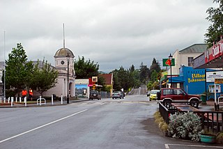
Chertsey is a town in the Ashburton District, of New Zealand's South Island. It is located close to State Highway 1, which bypasses the town to the west, between Ashburton and Rakaia on the Canterbury Plains.

Okains Bay is a settlement, beach and bay on the Banks Peninsula in the South Island of New Zealand.
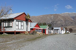
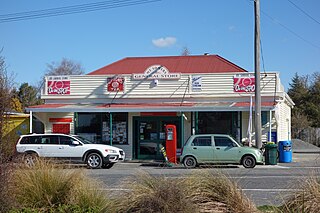
Lake Clearwater is a village in the Ashburton District of New Zealand next to a lake of the same name. A basic camp ground is located between the village and the lake.
Wakefield is a settlement in the Tasman District of New Zealand's South Island, located about 25km south west of Nelson.