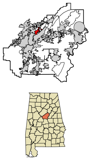
Indian Springs Village is a rural town in Shelby County, Alabama, United States, in the Birmingham metropolitan area. It incorporated effective November 14, 1990. At the 2010 census the population was 2,363, up from 2,225 in 2000.

Secor is a village in Clayton Township, Woodford County, Illinois, United States. The population was 373 at the 2010 census. It is part of the Peoria, Illinois Metropolitan Statistical Area. Secor is located just off U.S. Route 24 between El Paso and Eureka.

Copper City is a village in Houghton County of the U.S. state of Michigan. The population was 187 at the 2020 census. The village is within Calumet Township. With an area of 0.08 square miles (0.21 km2), it is the second-smallest incorporated municipality by area in the state of Michigan after the nearby village of Ahmeek.

Melvin is a village in Sanilac County in the U.S. state of Michigan. The population was 148 at the 2020 census. The village is within Speaker Township, and is located within the Thumb Region of Michigan.
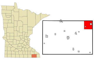
Rushford Village is a city in Fillmore County, Minnesota, United States. The population was 807 at the 2010 census. It surrounds the city of Rushford.

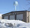
Brice is a village in Franklin County, Ohio, United States, on the southeast side of the Columbus metropolitan area. The population was 93 at the 2020 census.
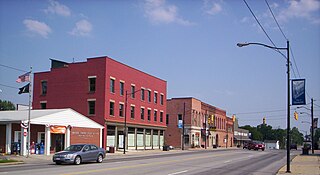
Monroeville is a village in Huron County, Ohio, United States. The population was 1,300 at the 2020 census.

Brandon is a village in Fond du Lac County, Wisconsin, United States. The population was 879 at the 2010 census.

Metomen is a town in Fond du Lac County, Wisconsin, United States. The population was 709 at the 2000 census. The villages of Fairwater and Brandon, the unincorporated community of Metomen, and the ghost town of Reeds Corners is also located in the town.

Avoca is a village in Iowa County, Wisconsin, United States. The population was 637 at the 2010 census. It is part of the Madison Metropolitan Statistical Area. It is named after Avoca in Ireland.

Hustler is a village in Juneau County, Wisconsin, United States. The population was 194 at the 2010 census.

Random Lake is a village in Sheboygan County, Wisconsin, United States. The population was 1,594 at the 2010 census. It is part of the Sheboygan, Wisconsin Metropolitan Statistical Area.

Lac La Belle is a village located mostly in Waukesha County in the U.S. state of Wisconsin. The population was 281 at the 2020 census. The village is located mostly within the town of Oconomowoc in Waukesha County. On March 28, 2002, the village annexed a portion of land in the town of Ixonia in Jefferson County.

Big Falls is a village in Waupaca County, Wisconsin, United States. The population was 61 at the 2010 census.

Earlville is a village in New York state bisected by two counties: Madison County and Chenango County, United States. The population was 774 as per the 2020 Decennial census, a decrease from the 872 reported in the 2010 census. The village is named after Jonas Earl, a canal commissioner.

Kittery is a census-designated place (CDP) consisting of the main village in the town of Kittery in York County, Maine, United States. The village is also known as Kittery Foreside. The population of the CDP was 4,562 at the 2010 census. It is part of the Portland–South Portland–Biddeford, Maine Metropolitan Statistical Area.

Corinth is a village in Saratoga County, New York, United States. The population was 2,562 at the 2020 census. The village takes its name from the Greek city of Corinth.

Dallas is a village in Barron County in the U.S. state of Wisconsin. The population was 409 at the 2010 census. The village is located within the Town of Dallas.

Woodman is a village in Grant County in the U.S. state of Wisconsin. The population was 132 at the 2010 census. The village is located within the Town of Woodman.

Neshkoro is a village in Marquette County, Wisconsin, United States. The population was 434 at the 2010 census. The village is located within the Town of Neshkoro.