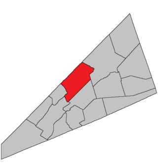
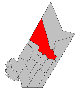
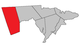
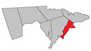
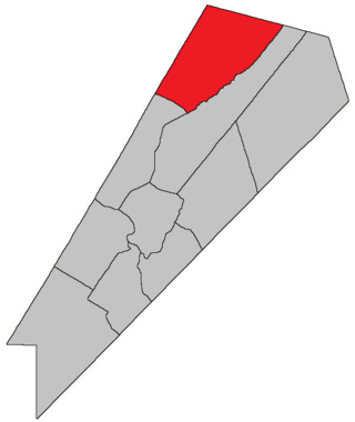
Harvey | |
---|---|
Coordinates: 45°43′N64°47′W / 45.72°N 64.78°W | |
Country | Canada |
Province | New Brunswick |
County | Albert |
Erected | 1838 |
Area | |
• Land | 276.85 km2 (106.89 sq mi) |
Population (2021) [1] | |
• Total | 358 |
• Density | 1.3/km2 (3/sq mi) |
• Change 2016-2021 | 7.5% |
• Dwellings | 239 |
Time zone | UTC-4 (AST) |
• Summer (DST) | UTC-3 (ADT) |
Harvey is a geographic parish in southern Albert County, New Brunswick, Canada. [4]
For governance purposes, Harvey is divided between the village of Fundy Albert [5] and the Southeast rural district, [6] both members of the Southeast Regional Service Commission. [7]
Prior to the 2023 governance reform, the parish formed a single local service district, the LSD of the parish of Harvey. [8]
The parish was probably named in honour of Sir John Harvey, Lieutenant Governor of New Brunswick 1837-1841. [9]
Harvey Parish was erected in 1838 from western Hopewell and southern Salisbury Parishes. [10] It included modern Alma Parish and the southern part of Elgin Parish.
Harvey Parish is bounded: [2] [11] [12]
Harvey's northern line was originally an extension of the northern line of Hopewell Parish, [10] running north of Church Hill Road. This put Church Hill, Churches Corner, Ferndale, River View, and Ross Corner in Harvey.
Following the erection of Albert County in 1845 [17] the new county line passed through Salisbury and Harvey Parishes. This was found inconvenient and the county line was moved in 1846, [18] adding the remainder of modern Elgin Parish to Harvey.
The northern part of Harvey was erected as Elgin Parish in 1847 [19] and the western part as Alma Parish in 1855, [20] giving the parish its modern boundaries.
In 1877 Grindstone Island was omitted from the boundary description of Harvey; [13] this was corrected in 1879. [21]
The local service district of the parish of Harvey included the entire parish. [22] The LSD was established on 23 November 1966 to assess for fire protection [23] following the abolition of county councils in the new Municipalities Act. First aid & ambulance services were added on 21 January 1976. [24]
In 2020, it assessed for community & recreation services in addition to the basic LSD services of fire protection, police services, land use planning, emergency measures, and dog control. [25] The taxing authority was 617.00 Harvey.
Communities at least partly within the parish. [11] [12] [26] italics indicate a name no longer in official use
Bodies of water [lower-alpha 3] at least partly in the parish. [11] [12] [26]
Islands at least partly within the parish. [11] [12] [26]
Parks, historic sites, and other noteworthy places in the parish. [11] [12] [26]
Highways and numbered routes that run through the parish, including external routes that start or finish at the parish limits: [32]
Waterborough is a geographic parish in Queens County, New Brunswick, Canada.
Moncton is a geographic parish in Westmorland County, New Brunswick, Canada.
Kingsclear is a geographic parish in York County, New Brunswick, Canada.
Blissville is a geographic parish in Sunbury County, New Brunswick, Canada.
Springfield is a geographic parish in Kings County, New Brunswick, Canada.
Coverdale is a geographic parish in Albert County, New Brunswick, Canada, located along the Petitcodiac River opposite Moncton and Dieppe.
Sackville is a geographic parish in Westmorland County, New Brunswick, Canada.
Carleton is a geographic parish in Kent County, New Brunswick, Canada.
Manners Sutton is a geographic parish in York County, New Brunswick, Canada.
Douglas is a geographic parish in York County, New Brunswick, Canada.
Elgin is a geographic parish in the interior of Albert County, New Brunswick, Canada, the only one of the county's parishes that does not border either the Bay of Fundy or the Petitcodiac River.
Hopewell is a geographic parish in eastern Albert County, New Brunswick, Canada.
Alma is a geographic parish on the Bay of Fundy in the southwestern corner of Albert County, New Brunswick, Canada.
Salisbury is a geographic parish in Westmorland County, New Brunswick, Canada.
Botsford is a geographic parish in Westmorland County, New Brunswick, Canada.
Westmorland is a geographic parish in Westmorland County, New Brunswick, Canada.
Dorchester is a geographic parish in Westmorland County, New Brunswick, Canada.
Waterford is a geographic parish in Kings County, New Brunswick, Canada.
Simonds is a geographic parish in Saint John County, New Brunswick, Canada.
Chipman is a geographic parish in Queens County, New Brunswick, Canada.