High Springs, Florida | |
|---|---|
| City of High Springs | |
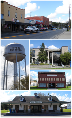 Top, left to right: downtown area, water tower, city hall, Priest Theatre, old railroad depot | |
 Seal | |
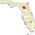
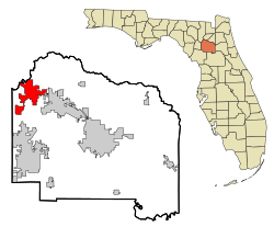 Location in Alachua County and the state of Florida | |
| Coordinates: 29°46′30″N82°37′20″W / 29.77500°N 82.62222°W | |
| Country | United States |
| State | Florida |
| County | Alachua |
| Settled | ca. 1840 |
| Incorporated | 1892 |
| Government | |
| • Type | Commission–Manager |
| Area | |
• Total | 21.97 sq mi (56.89 km2) |
| • Land | 21.89 sq mi (56.69 km2) |
| • Water | 0.077 sq mi (0.20 km2) |
| Elevation | 72 ft (22 m) |
| Population (2020) | |
• Total | 6,215 |
| • Density | 283.9/sq mi (109.63/km2) |
| Time zone | UTC-5 (Eastern (EST)) |
| • Summer (DST) | UTC-4 (EDT) |
| ZIP codes | 32643, 32655 |
| Area code | 386 |
| FIPS code | 12-30525 [3] |
| GNIS feature ID | 2404697 [2] |
| Website | highsprings |
High Springs is a city in Alachua County, Florida, United States. It is the fourth-largest city in Alachua County and seventh-largest in North Central Florida. The population was 6,215 at the 2020 census, up from 5,350 at the 2010 census. [4] It is part of the Gainesville, Florida Metropolitan Statistical Area.