Vyshneve is a city in Bucha Raion, Kyiv Oblast, Ukraine, located two kilometres (1.2 mi) south of the capital Kyiv. Vyshneve hosts the administration of Vyshneve urban hromada, one of the hromadas of Ukraine. It has a population of 42,983.
Bohuslav Raion was a raion (district) in Kyiv Oblast of Ukraine. Its administrative center was the city of Bohuslav. The raion was abolished on 18 July 2020 as part of the administrative reform of Ukraine, which reduced the number of raions of Kyiv Oblast to seven. The area of Bohuslav Raion was split between Bila Tserkva and Obukhiv Raions. The last estimate of the raion population was 33,318 .
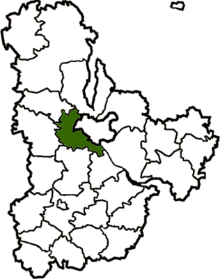
Kyiv-Sviatoshyn Raion was a raion (district) in Kyiv Oblast of Ukraine, adjacent to the city of Kyiv which served as the administrative center for the raion. The city of Kyiv itself did not belong to the raion. The raion was abolished on 18 July 2020 as part of the administrative reform of Ukraine, which reduced the number of raions of Kyiv Oblast to seven. The area of Kyiv-Sviatoshyn Raion was split between Bucha, Fastiv, and Obukhiv Raions. The last estimate of the raion population was 210,123 .
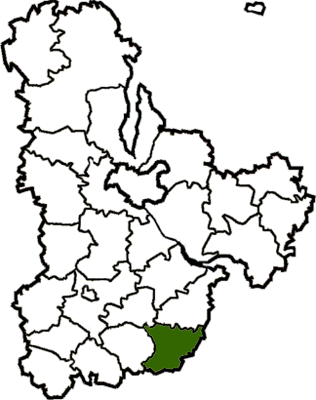
Obukhiv Raion is a raion (district) in Kyiv Oblast of Ukraine. Its administrative center is Obukhiv. Population: 227,209.

Vasylkiv Raion was a raion (district) in Kyiv Oblast of Ukraine. Its administrative center was Vasylkiv which is incorporated separately as a town of oblast significance and did not belong to the raion. The raion was abolished on 18 July 2020 as part of the administrative reform of Ukraine, which reduced the number of raions of Kyiv Oblast to seven. The area of Vasylkiv Raion was split between Bila Tserkva, Fastiv, and Obukhiv Raions. The last estimate of the raion population was 57,613 .

Vyshhorod Raion is a raion (district) in Kyiv Oblast, Ukraine. Its administrative center is the city of Vyshhorod. It has a population of 132,136.
Hatne is a selo in Fastiv Raion in Kyiv Oblast of northern Ukraine. It hosts the administration of Hatne rural hromada, one of the hromadas of Ukraine.

Krushynka is a small village in Fastiv Raion in the Kyiv Oblast (province) of northern Ukraine. It belongs to Hlevakha settlement hromada, one of the hromadas of Ukraine. Krushynka has 347 inhabitants.
Bilohorodka is a village in Bucha Raion, Kyiv Oblast of north Ukraine. It hosts the administration of Bilohorodka rural hromada, one of the hromadas of Ukraine, formed on 12 June 12 2020 and including nine neighbouring villages: Bobrytsia, Horenytsia, Myzychi, Sviatopetrivske, Hnativka, Stoianka, Shevchenko, Nehrashi, and Luka.

Chabany is a rural settlement in Fastiv Raion of Kyiv Oblast (province), located on the southern border of Kyiv. It hosts the administration of Chabany settlement hromada, one of the hromadas of Ukraine. Population: 5,334 .

Buzova is a village in Ukraine, in Bucha Raion (district) of the Kyiv Oblast. It belongs to Dmytrivka rural hromada, one of the hromadas of Ukraine. The village has a population of 1,548. The M06 highway runs past it.
Horenychi is a village in Ukraine, in Bucha Raion (district) of Kyiv Oblast. It belongs to Bilohorodka rural hromada, one of the hromadas of Ukraine. The village has a population of 2,551.
Myrotske is a village in Bucha Raion of Kyiv Oblast (province) of Ukraine. It belongs to Bucha urban hromada, one of the hromadas of Ukraine.
Kriukivshchyna is a village in Bucha Raion (district) of Kyiv Oblast in northern Ukraine. It belongs to Vyshneve urban hromada, one of the hromadas of Ukraine.
Kovalivka is a village of Bila Tserkva Raion, Kyiv Oblast, Ukraine. It hosts the administration of Kovalivka rural hromada, one of the hromadas of Ukraine. The village is administered by its own rural council. The population is approximately 1,500.
Petropavlivska Borshchahivka is a village in Bucha Raion of Kyiv Oblast (province) of Ukraine. It belongs to Borshchahivka rural hromada, one of the hromadas of Ukraine.
Rzhyshchiv urban hromada is a hromada in Ukraine, in Obukhiv Raion of Kyiv Oblast. The administrative center is the city of Rzhyshchiv.
Horenka is a village in Bucha Raion (district) in Kyiv Oblast of Ukraine, on the NW border of the city of Kyiv. It belongs to Hostomel settlement hromada, one of the hromadas of Ukraine.
Mykhailivka-Rubezhivka is a village in Bucha Raion, Kyiv Oblast, Ukraine. It belongs to Irpin urban hromada, one of the hromadas of Ukraine. Mykhailivka-Rubezhivka is located 16 km west of Kyiv and was formed as a result of the merging of the villages of Mykhailivka and Rubezhivka. It has a population of 3,430.

Bucha is a village in Bucha Raion of Kyiv Oblast, Ukraine. It belongs to Dmytrivka rural hromada, one of the hromadas of Ukraine.


