| Kolondieba | |
|---|---|
| Commune and town | |
| Country | |
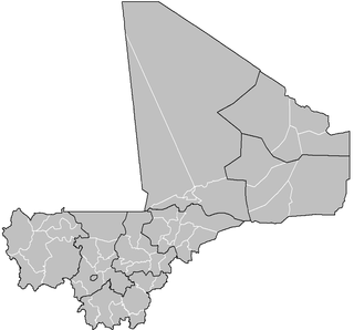
| Region | Sikasso Region |
| Cercle | Kolondieba Cercle |
| Population (2009) | |
| • Total | 57,898 |
| Time zone | GMT (UTC+0) |
Kolondieba is a small town and commune in the cercle of Kolondiéba, in the Sikasso Region of southern Mali. At the 2009 Census, the commune had a population of 57,898.

A Commune is the third level administrative unit in Mali. Mali is divided into eight regions and one capital district (Bamako). These subdivisions bear the name of their principal city. The regions are divided into 49 Cercles. The Cercles and the district are divided into 703 Communes, with 36 Urban Communes and 667 Rural Communes, while some larger Cercles still contain Arrondissements above the Commune level, these are organisational areas with no independent power or office. Rural Communes are subdivided in Villages, while Urban Communes are subdivided into Quartier. Communes usually bear the name of their principal town. The capital, Bamako, consists of six Urban Communes. There were initially 701 communes until the Law No. 01-043 of 7 June 2001 created two new Rural Communes in the desert region in the north east of the country: Alata, Ménaka Cercle in the Gao Region and Intadjedite, Tin-Essako Cercle in the Kidal Region.
A cercle is the second level administrative unit in Mali. Mali is divided into eight régions and one capital district (Bamako); the régions are subdivided into 49 cercles. These subdivisions bear the name of their principal city.

Kolondiéba Cercle is an administrative subdivision of the Sikasso Region of Mali. The administrative center (chef-lieu) is the town of Kolondiéba.
In the local language, Kolondieba means "Big White Well."
Jula is a language of the Mande language family spoken in Burkina Faso, Ivory Coast and Mali. It is one of the Manding languages and is most closely related to Bambara, being mutually intelligible with Bambara as well as Malinke. It is a trade language in West Africa and is spoken by millions of people, either as a first or second language. It is written in the Arabic script and the Latin script, as well as in the indigenous N'Ko script.


