Related Research Articles
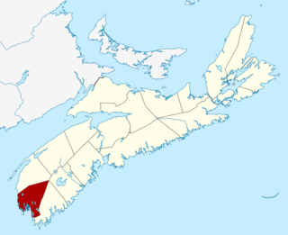
Yarmouth County is a rural county in the Canadian province of Nova Scotia. It has both traditional Anglo-Scottish and Acadian French culture as well as significant inland wilderness areas, including over 365 lakes and several major rivers. It comprises three municipalities: the Town of Yarmouth, the Municipality of the District of Yarmouth, and the Municipality of the District of Argyle.
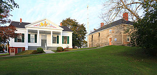
Charlotte County is the southwest-most county of New Brunswick, Canada.

Kentville is an incorporated town in Nova Scotia. It is the most populous town in the Annapolis Valley. As of 2021, the town's population was 6,630. Its census agglomeration is 26,929.

The census geographic units of Canada are the census subdivisions defined and used by Canada's federal government statistics bureau Statistics Canada to conduct the country's quinquennial census. These areas exist solely for the purposes of statistical analysis and presentation; they have no government of their own. They exist on four levels: the top-level (first-level) divisions are Canada's provinces and territories; these are divided into second-level census divisions, which in turn are divided into third-level census subdivisions and fourth-level dissemination areas.

Halifax is the capital and largest municipality of the Canadian province of Nova Scotia, and the largest municipality in Atlantic Canada. As of the 2021 Census, the municipal population was 439,819, with 348,634 people in its urban area. The regional municipality consists of four former municipalities that were amalgamated in 1996: Halifax, Dartmouth, Bedford, and Halifax County.
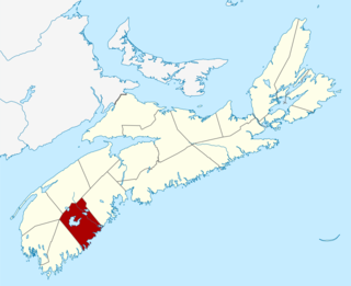
The Region of Queens Municipality is a regional municipality in southwestern Nova Scotia, Canada. It is the northern gateway of the UNESCO Southwest Nova Biosphere Reserve, a centre of outdoor activities. Campgrounds at Kejimukujik National Park and National Historic Site, Thomas H. Raddall Provincial Park, and several other locations offer hiking, biking, canoeing, kayaking, cross-country skiing and snowshoeing. Its seacoast and inland areas are popular photo locations.
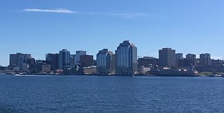
Downtown Halifax is the primary central business district of the Municipality of Halifax. Located on the central-eastern portion of the Halifax Peninsula, on Halifax Harbour. Along with Downtown Dartmouth, and other de facto central business districts within the Municipality, Downtown Halifax serves as the business, entertainment, and tourism hub of the region.
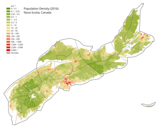
Nova Scotia is a Canadian province located on Canada's southeastern coast. It is the most populous province in Atlantic Canada, and its capital, Halifax, is a major economic centre of the region. Geographically, Nova Scotia is the second smallest province in Canada, with an area of 52,824.71 km2 (20,395.73 sq mi). As of 2021, it has a population of 969,383 people.

Guysborough, officially named the Municipality of the District of Guysborough, is a district municipality in Guysborough County, Nova Scotia, Canada. Statistics Canada classifies the district municipality as a municipal district.
References
- 1 2 "From urban areas to population centres" Archived 2012-12-13 at the Wayback Machine . Statistics Canada, May 5, 2011.
- 1 2 3 4 5 6 7 8 9 "Population and dwelling counts: Canada and population centres". Statistics Canada. February 9, 2022. Retrieved February 11, 2022.