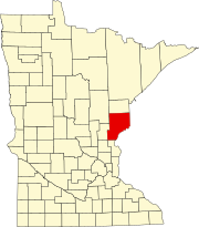
Pine County is a county in the U.S. state of Minnesota. As of the 2010 United States Census, the population was 29,750. Its county seat is Pine City. The county was formed in 1856 and organized in 1872.

Brook Park is a city in Pine County, Minnesota, United States. The population was 139 at the 2010 census.

Hinckley is a city in Pine County, Minnesota, United States, located at the junction of Interstate 35 and Minnesota State Highway 48. The population was 1,800 at the 2010 census.
Minnesota State Highway 23 (MN 23) is a state highway that stretches from southwestern to northeastern Minnesota. At 343.723 miles (553.169 km) in length, it is the second longest state route in Minnesota, after MN 1.

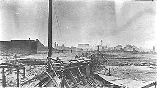
The Great Hinckley Fire was a conflagration in the pine forests of the U.S. state of Minnesota in September 1894, which burned an area of at least 200,000 acres, including the town of Hinckley. The official death count was 418; the actual number of fatalities was likely higher. Other sources put the death toll at 476.

Cloverdale is an unincorporated community in Arlone Township, Pine County, Minnesota, United States.

Beroun is an unincorporated community in Mission Creek Township, Pine County, Minnesota, United States.

Nodine is an unincorporated community in New Hartford Township, Winona County, Minnesota, United States.

Pine Brook is an unincorporated community in Isanti County, Minnesota, United States.

Walbo is an unincorporated community in Springvale Township, Isanti County, Minnesota, United States.

Pine Creek is an unincorporated community in Houston and Winona counties in the U.S. state of Minnesota.

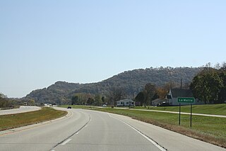
Lamoille is an unincorporated community in Richmond Township, Winona County, Minnesota, United States. Big Trout Creek and the Mississippi River meet at Lamoille.

Cloverton is an unincorporated community in New Dosey Township, Pine County, Minnesota, United States.

Grattan is an unincorporated community in Grattan Township, Itasca County, Minnesota, United States.

Duxbury is an unincorporated community in Wilma Township, Pine County, Minnesota, United States.

Markville is an unincorporated community in Arna Township, Pine County, Minnesota, United States, located along the Saint Croix River.

Kingsdale is an unincorporated community in New Dosey Township, Pine County, Minnesota, United States.

Greeley is an unincorporated community in Royalton Township, Pine County, Minnesota, United States.

Kroschel is an unincorporated community in Kanabec County, Minnesota, United States.


