Morningside Avenue (Toronto)

Last updated

Morningside Avenue

Morningside Ave map.png
Route information
Maintained by City of Toronto
Major junctions
South end Guildwood Parkway
Major intersections Lawrence Avenue East
Kingston Road
Ellesmere Road
Ontario 401 crown.svg  Highway 401
Sheppard Avenue East
To McNicoll Avenue
Location
Country Canada
Province Ontario
Major cities Toronto
Highway system
  • Roads in Toronto
Nearby arterial roads
  Markham Road Morningside Avenue Meadowvale Road  

Morningside Avenue is a suburban arterial road in Toronto, Ontario, Canada. It is entirely within Scarborough, running north by north-west from the Scarborough Bluffs overlooking Lake Ontario to the eastern terminus of McNicoll Avenue near the Rouge River valley. A short extension from Steeles Avenue to Passmore Avenue has been completed but the connection to the southern section to McNicoll Avenue is still not completed.

Contents

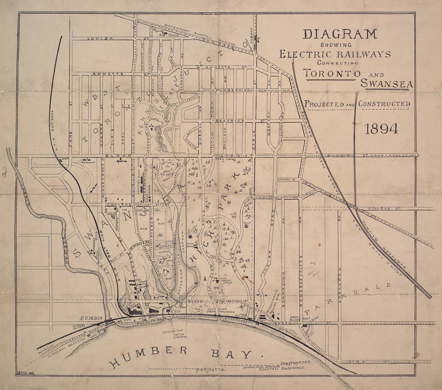
It is not to be confused with Morningside Avenue, a minor residential road (short of Riverside Drive to Ellis Avenue) in the old Toronto neighbourhood of Swansea. This Morningside Avenue was originally the extension of College Street or Grenadier Road [1] from Parkside Drive but cancelled as High Park was developed.

Route description

The foot of Morningside is located at Guildwood Parkway on the shores of Lake Ontario, and traces the original Scarborough Township Lot 10 line north-east toward the commercial centre of the West Hill neighbourhood at Kingston Road. West Hill takes its name from its position above the broad valley of Highland Creek. The valley is the site of Morningside Park, one of Toronto's largest. Within the valley at the intersection of Ellesmere Road is the Morningside Campus of Centennial College and the Scarborough campus of the University of Toronto in which Morningside Avenue forms the western boundary of. [2] [3] [ failed verification ] Beyond the valley, which was the former northern terminus, the present route was named "Littles Road" after an early family in the area. Between Sheppard and Finch Avenues, Morningside serves as the eastern boundary of the Malvern neighbourhood. The route veers to the north-west north of Sheppard Avenue, skirting the ravine of Morningside Creek and Rouge Park.

Communities lining the northern reaches of the street, and those nearby across the city boundary in Markham, are constrained by the topographic and legislative boundaries of Rouge Park. A northern extension to Morningside Avenue was proposed, traversing the Brookside and Morningside Heights neighbourhoods to connect with the exurban community of Box Grove. These plans have since been canceled due to concerns that the extension would necessitate construction in a sensitive section of Rouge Park. [4] [5]

The low 3.7 m (12.1 ft), narrow, one-lane railroad underpass at Finch Avenue, dating back to when it was a rural road, was replaced in 2009, allowing 4 lanes of traffic to pass below uninterrupted. [6] McNicoll Avenue was later extended east terminating at a newly built extension of Morningside Avenue, while Oasis Blvd continues east of Morningside Avenue as a residential neighbourhood.

Public transit

Morningside Avenue is mainly served by the 116 Morningside bus route from Guildwood Parkway to Nightstar Road. The 133 Neilson and 53A Steeles East serve north of this to McNicoll Ave/Oasis Blvd. The 53B Steeles East and 102B/C Markham Road both serve the northern extension of Morningside from Passmore Avenue to Steeles Avenue East. The 12D Kingston Road, 39B Finch East, 131 Nugget, 902 Markham Road Express, 905 Eglinton East Express, 939C Finch Express, and 953 Steeles East Express all serve parts of Morningside, with the 902, 905, 939C, and 953 running express in the areas they serve.

A portion of Morningside Avenue between Kingston Road and Ellesmere Road contains dedicated RapidTO bus lanes.

Future

Morningside Avenue is planned to be extended to Steeles Avenue (initially from Passmore Avenue to McNicoll Avenue and then to Steeles [7] ) in the future to connect to Donald Cousens Parkway via a widened Steeles Avenue. [8] As of December 2019, the Steeles widening project is expected to start construction in 2022, and although the detailed design of the Morningside extension is expected to be completed in 2020, no schedule has been announced for the extension yet. [7]

Attractions and points of interest

Related Research Articles

<span class="mw-page-title-main">Rouge River (Ontario)</span> River in Ontario, Canada

The Rouge River is a river in Markham, Pickering, Richmond Hill and Toronto in the Greater Toronto Area of Ontario, Canada. The river flows from the Oak Ridges Moraine to Lake Ontario at the eastern border of Toronto, and is the location of Rouge Park, the only national park in Canada within a municipality. At its southern end, the Rouge River is the boundary between Toronto and southwestern Pickering in the Regional Municipality of Durham.

<span class="mw-page-title-main">Finch Avenue</span> Road in Toronto, Ontario, Canada

Finch Avenue is an arterial thoroughfare that travels east–west in Toronto, Ontario, Canada. The road continues west into the Regional Municipality of Peel as Regional Road 2 and east into the Regional Municipality of Durham as Regional Road 37.

<span class="mw-page-title-main">Malvern, Toronto</span> Neighbourhood in Toronto, Ontario, Canada

Malvern is a neighbourhood in the city of Toronto, Ontario, Canada, with a population of 44,315. It is located in the northeast corner of the city.

<span class="mw-page-title-main">West Hill, Toronto</span> Neighbourhood in Toronto, Ontario, Canada

West Hill is a neighbourhood in Toronto, Ontario, Canada. It is located in the eastern end of the city, in the former suburb of Scarborough. It is roughly bounded by Scarborough Golf Club Road and a branch of Highland Creek on the west, the CNR railway tracks and Lake Ontario on the south, and Highland Creek on the north-east. The name comes from its elevated position on the west side of Highland Creek, a deep glacial ravine.

<span class="mw-page-title-main">Scarborough—Rouge River (federal electoral district)</span> Federal electoral district in Ontario, Canada

Scarborough—Rouge River was a federal electoral district in Ontario, Canada, that has been represented in the House of Commons of Canada between 1988 and 2015. However, as of the Fall 2015 federal election, part of this riding has been combined with the south-western part of the old riding Pickering—Scarborough East.

<span class="mw-page-title-main">Cancelled expressways in Toronto</span> Unbuilt freeways in Toronto, Canada

The cancelled expressways in Toronto were a planned series of expressways in Toronto, Ontario, Canada that were only partially built or cancelled due to public opposition. The system of expressways was intended to spur or handle growth in the suburbs of Toronto, but were opposed by citizens within the city of Toronto proper, citing the demolition of homes and park lands, air pollution, noise and the high cost of construction. The Spadina Expressway, planned since the 1940s, was cancelled in 1971 after being only partially constructed. After the Spadina cancellation, other expressway plans, intended to create a 'ring' around the central core, were abandoned.

<span class="mw-page-title-main">Scarborough—Guildwood (federal electoral district)</span> Federal electoral district in Ontario, Canada

Scarborough—Guildwood is a federal electoral district in Toronto, Ontario, Canada, that has been represented in the House of Commons of Canada since 2004.

<span class="mw-page-title-main">Lawrence Avenue</span> Thoroughfare in Toronto, Ontario

Lawrence Avenue is a major east–west thoroughfare in Toronto, Ontario, Canada. It is divided into east and west portions by Yonge Street, the dividing line of east–west streets in Toronto.

<span class="mw-page-title-main">Steeles Avenue</span> Road in Ontario, Canada

Steeles Avenue is an east–west street that forms the northern city limit of Toronto and the southern limit of York Region in Ontario, Canada. It stretches 77.3 km (48.0 mi) across the western and central Greater Toronto Area from Appleby Line in Milton in the west to the Toronto-Pickering city limits in the east, where it continues east into Durham Region as Taunton Road, which itself extends 58 km (36 mi) across the length of Durham Region to its boundary with Northumberland County.

<span class="mw-page-title-main">Brimley Road</span> Thoroughfare in Toronto, Ontario

Brimley Road is a north-south street in Toronto and the Regional Municipality of York, Ontario, Canada. In Toronto, it is located entirely within Scarborough and carried 32000 vehicles daily in May 2007 Hence, it is classified as a major arterial road by the city of Toronto.

<span class="mw-page-title-main">Rouge, Toronto</span> Neighbourhood in Toronto, Ontario, Canada

Rouge is a neighbourhood in the northeastern area of Toronto, Ontario, within the former city of Scarborough. It is Toronto's largest neighbourhood by surface area; however, unlike other neighbourhoods, most of its area remains undeveloped, as the neighbourhood is adjacent to Rouge National Urban Park.

<span class="mw-page-title-main">Morningside Heights, Toronto</span> Neighbourhood in Toronto, Ontario, Canada

Morningside Heights is a residential neighbourhood in Toronto, Ontario, Canada. It is located in the northeast corner of the city, in the district of Scarborough, just north of the neighbourhood of Malvern and west of Rouge Park and the Rouge. The subdivision, comprising approximately 750 acres (3.0 km2), was one of the last large tracts of undeveloped land within the City of Toronto, located between Finch Avenue East and Steeles Avenue East, from Tapscott Road to the Rouge River.

<span class="mw-page-title-main">Donald Cousens Parkway</span> Arterial bypass of Markham

Donald Cousens Parkway or York Regional Road 48, also referred to historically as the Markham Bypass or Markham Bypass Extension, is a regionally-maintained arterial bypass of Markham in the Canadian province of Ontario. Named for former Markham mayor Don Cousens in April 2007, the route initially travelled northward from Copper Creek Drive in Box Grove, south of Highway 407, to Major Mackenzie Drive. A southern extension to Steeles Avenue was later completed and the name Donald Cousens Parkway applied along the extension to Ninth Line. In addition to its role of funneling through-traffic around downtown Markham, the route serves as a boundary to residential development as land to the north and east are part of the protected Rouge National Urban Park and southwest limits of the planned Pickering Airport.

<span class="mw-page-title-main">Highland Creek (Toronto)</span> River in Ontario, Canada

Highland Creek is a river in the Scarborough district of Toronto, Ontario, emptying into Lake Ontario at the eastern end of the Scarborough Bluffs. It is home to several species of fish including trout, carp, bass and salmon. It is a meandering river which, like most rivers in Toronto, travels through a glacial ravine formed after the last Ice Age. The Highland Creek watershed, including tributaries, is almost entirely contained within Scarborough.

<span class="mw-page-title-main">Highland Creek, Toronto</span> Neighbourhood in Toronto, Ontario, Canada

Highland Creek is a neighbourhood in eastern Toronto, Ontario, Canada. It is located along the southern portion of the river of the same name in the former suburb of Scarborough. To the east are the neighbourhoods of Port Union and West Rouge, to the west West Hill and Woburn, and to the south Centennial Scarborough.

<span class="mw-page-title-main">Scarborough—Guildwood (provincial electoral district)</span> Provincial electoral district in Ontario, Canada

Scarborough—Guildwood is a provincial electoral district in the Scarborough section of Toronto, Ontario, Canada, that has been represented in Legislative Assembly of Ontario since the 2007 provincial election.

References

  1. Swansea map swanseahistoricalsociety.ca
  2. "University of Toronto Scarborough · 1265 Military Trail, Scarborough, ON M1C 1A4, Canada". University of Toronto Scarborough · 1265 Military Trail, Scarborough, ON M1C 1A4, Canada.
  3. "UTSC - About us". University of Toronto Scarborough Campus. Retrieved 10 February 2019.
  4. "End of road for Markham's east-end link" Tiffany Hsieh. Markham Economist & Sun. Sep 24, 2010. pg. 1
  5. "Morningside Ave. project near Rouge River parks;" W.D. Lighthall. Toronto Star. Mar 22, 2003. pg. M.18
  6. "Construction to begin at Finch and Morningside avenues shortly. " David Nickle. The Scarborough Mirror. May 15, 2007. pg. 1
  7. 1 2 "Steeles Avenue Widening and Morningside Avenue Extension". City of Toronto. 22 November 2017. Retrieved 24 December 2019.
  8. "Steeles Avenue Widening and Morningside Avenue Extension Display Panels, July 19, 2016". Slideshare. 19 July 2016. Retrieved 2019-01-26.