Olvey Township | |
|---|---|
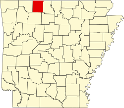
 Olvey Township Location in Arkansas | |
| Coordinates: 36°11′55.46″N92°57′35.95″W / 36.1987389°N 92.9599861°W | |
| Country | |
| State | |
| County | Boone |
| Area | |
• Total | 11.82 sq mi (30.6 km2) |
| • Land | 11.807 sq mi (30.58 km2) |
| • Water | 0.013 sq mi (0.034 km2) |
| Population (2010) | |
• Total | 440 |
| • Density | 37.27/sq mi (14.39/km2) |
| Time zone | UTC-6 (CST) |
| • Summer (DST) | UTC-5 (CDT) |
| Zip Code | 72601 (Harrison) |
| Area code | 870 |
Olvey Township is one of twenty current townships in Boone County, Arkansas, USA. [1] As of the 2010 census, its total population was 440.