| Pakowki Lake | |
|---|---|
 Pakowki Lake, aerial photograph, August 2013 | |
 Pakowki Lake 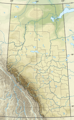 Pakowki Lake | |
| Location | County of Forty Mile No. 8, Alberta |
| Coordinates | 49°18′24″N110°54′18″W / 49.30667°N 110.90500°W |
| Lake type | Endorheic lake, slough |
| Primary inflows | Etzikom Coulee, Irrigation Creek, Erickson Coulee, Ketchum Creek, Canal Creek, Bond Coulee, Bryant Coulee |
| Primary outflows | None |
| Basin countries | Canada |
| Max. length | 35 km (22 mi) |
| Max. width | 8 km (5.0 mi) |
| Surface area | 123 km2 (47 sq mi) |
| Average depth | 1.2 m (3 ft 11 in) |
| Surface elevation | 860 m (2,820 ft) |
Pakowki Lake is an endorheic lake in Alberta, Canada located south of Etzikom, Alberta and not far north is the former town site of Pakowki which may have received its name from the lake.
Contents
It is located in the prairies of Southern Alberta, at an elevation of 860 metres (2,820 ft), in the County of Forty Mile No. 8. It is fed by a number of coulees and creeks, such as Etzikom Coulee, Irrigation Creek, Erickson Coulee, Ketchum Creek, Canal Creek, Bond Coulee and Bryant Coulee, and has no outflow. Reaching a maximum extent of 123 km2 (47 sq mi), it is one of the largest lakes in the province.
The name means "bad water" in Blackfoot language, [1] named so for the bad smell caused by the lack of an outflow. While it is the largest water body in southern Alberta, its waters are intermittent, and it can be classified as a slough. In times of flooding, the lake overflows through a channel into the Milk River, which flows 6 kilometres (3.7 mi) south of the lake.
