Rosholt, South Dakota | |
---|---|
![]() Location in Roberts County and the state of South Dakota | |
Coordinates: 45°51′58″N96°43′54″W / 45.86611°N 96.73167°W | |
Country | United States |
State | South Dakota |
County | Roberts |
Incorporated | 1913 [1] |
Area | |
• Total | 0.30 sq mi (0.77 km2) |
• Land | 0.30 sq mi (0.77 km2) |
• Water | 0.00 sq mi (0.00 km2) |
Elevation | 1,083 ft (330 m) |
Population | |
• Total | 379 |
• Density | 1,280.41/sq mi (494.95/km2) |
Time zone | UTC-6 (Central (CST)) |
• Summer (DST) | UTC-5 (CDT) |
ZIP code | 57260 |
Area code | 605 |
FIPS code | 46-56340 [5] |
GNIS feature ID | 1267555 [3] |
Website | http://www.rosholtsd.com/ |
Rosholt is a town in Roberts County, South Dakota, United States. The population was 379 at the 2020 census. [6]
Rosholt was laid out in 1913, and named in honor of Julius Rosholt, who was credited with bringing the railroad to town. [7]
According to the United States Census Bureau, the town has a total area of 0.30 square miles (0.78 km2), all land. [8]
Census | Pop. | Note | %± |
---|---|---|---|
1920 | 301 | — | |
1930 | 327 | 8.6% | |
1940 | 362 | 10.7% | |
1950 | 387 | 6.9% | |
1960 | 423 | 9.3% | |
1970 | 456 | 7.8% | |
1980 | 446 | −2.2% | |
1990 | 408 | −8.5% | |
2000 | 419 | 2.7% | |
2010 | 423 | 1.0% | |
2020 | 379 | −10.4% | |
U.S. Decennial Census [4] |
As of the census [9] of 2010, there were 423 people, 197 households, and 106 families residing in the town. The population density was 1,410.0 inhabitants per square mile (544.4/km2). There were 228 housing units at an average density of 760.0 per square mile (293.4/km2). The racial makeup of the town was 92.7% White, 3.3% Native American, and 4.0% from two or more races. Hispanic or Latino of any race were 0.2% of the population.
There were 197 households, of which 18.3% had children under the age of 18 living with them, 48.7% were married couples living together, 4.6% had a female householder with no husband present, 0.5% had a male householder with no wife present, and 46.2% were non-families. 45.2% of all households were made up of individuals, and 29.4% had someone living alone who was 65 years of age or older. The average household size was 1.95 and the average family size was 2.69.
The median age in the town was 53 years. 17.3% of residents were under the age of 18; 3.8% were between the ages of 18 and 24; 16.7% were from 25 to 44; 26.5% were from 45 to 64; and 35.7% were 65 years of age or older. The gender makeup of the town was 44.7% male and 55.3% female.
As of the census [5] of 2000, there were 419 people, 168 households, and 107 families residing in the town. The population density was 1,403.8 inhabitants per square mile (542.0/km2). There were 199 housing units at an average density of 666.7 per square mile (257.4/km2). The racial makeup of the town was 93.79% White, 5.97% Native American and 0.24% Asian. Hispanic or Latino of any race were 0.48% of the population.
There were 168 households, out of which 25.6% had children under the age of 18 living with them, 59.5% were married couples living together, 3.6% had a female householder with no husband present, and 36.3% were non-families. 32.7% of all households were made up of individuals, and 20.2% had someone living alone who was 65 years of age or older. The average household size was 2.21 and the average family size was 2.83.
In the town, the population was spread out, with 20.8% under the age of 18, 4.3% from 18 to 24, 20.0% from 25 to 44, 18.4% from 45 to 64, and 36.5% who were 65 years of age or older. The median age was 50 years. For every 100 females, there were 78.3 males. For every 100 females age 18 and over, there were 74.7 males.
The median income for a household in the town was $30,547, and the median income for a family was $37,292. Males had a median income of $31,250 versus $16,875 for females. The per capita income for the town was $15,437. About 9.2% of families and 18.8% of the population were below the poverty line, including 32.4% of those under age 18 and 22.6% of those age 65 or over.
Wolsey is a town in Beadle County, South Dakota, United States. The population was 459 at the 2020 census.
Sinai is a town in Brookings County, South Dakota, United States. The population was 99 at the 2020 census. Located there are a grainery, a post office, a bank, and a church.
Claremont is a town in Brown County, South Dakota, United States. The population was 108 at the 2020 census.
Stratford is a town in southern Brown County, South Dakota, United States. The population was 57 at the 2020 census.
Westport is a town in western Brown County, South Dakota, United States. The population was 88 at the 2020 census.
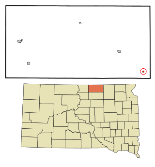
Mound City is a town in and the county seat of Campbell County, South Dakota, United States. The population was 69 at the 2020 census.
Bradley is a town in Clark County, South Dakota, United States. The population was 65 at the 2020 census.
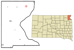
Florence is a town in northwestern Codington County, South Dakota, United States. It is part of the Watertown, South Dakota Micropolitan Statistical Area. The population was 337 at the 2020 census.
Roslyn is a town in northern Day County, South Dakota, United States. The population was 181 at the 2020 census.
Onaka is a town in Faulk County, South Dakota, United States. The population was 13 at the 2020 census.
Wetonka is a town in McPherson County, South Dakota, United States. The population was 16 at the 2020 census.
Crooks is a city in Minnehaha County, South Dakota, United States and is a suburb of Sioux Falls. The population was 1,362 at the 2020 census. Crooks was named New Hope until 1904. The town's present name honors W. A. Crooks, a local politician.
Corona is a town in Roberts County, South Dakota, United States. The population was 69 at the 2020 census.
Peever is a town in Roberts County, South Dakota, United States. The population was 180 at the 2020 census.
Alban is a town in Portage County, Wisconsin, United States. The population was 897 at the 2000 census. The unincorporated community of Alban is located within the town. The town was named after Civil War Colonel James S. Alban, a state senator in the early 1850s lost in the Battle of Shiloh. The Township is Town 25 North, Range 10 East, 4th Principal Meridian.
Buena Vista is a town in Portage County, Wisconsin, United States. The population was 1,198 at the 2010 census. The unincorporated communities of Coddington and Keene are located within the town.
Carson is a town in Portage County, Wisconsin, United States. The population was 1,299 at the 2000 census. The unincorporated communities of Mill Creek Community and Rocky Run are located in the town. The town was most likely named for Samuel Carson, who immigrated from Ireland around 1872.
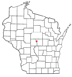
Rosholt is a village in Portage County, Wisconsin, United States. The population was 478 at the 2020 census.
Almond is a town in Portage County, Wisconsin, United States. The population was 679 at the 2000 census. The unincorporated community of West Almond is located in the town.
Amherst is a town in Portage County, Wisconsin, United States. The population was 1,435 at the 2000 census. The ghost town of Lake Emily was located in the town.