
The Departments of Niger are subdivided into communes. As of 2005, in the seven Regions and one Capital Area, there were 36 départements, divided into 265 communes, 122 cantons and 81 groupements. The latter two categories cover all areas not covered by Urban Communes or Rural Communes, and are governed by the Department, whereas Communes have elected councils and mayors. Additional semi-autonomous sub-divisions include Sultanates, Provinces and Tribes (tribus). The Nigerien government estimates there are an additional 17000 Villages administered by Rural Communes, while there are over 100 Quartiers administered by Urban Communes.
Dabaga is a town and rural commune in the Agadez Region of northern Niger. The town is situated around 50 kilometers north of the regional capital, Agadez, on the main road leading north into the Aïr Mountains and the town of Elmeki. Like the nearby communities of Azel, Elmeki and Egandawel, Dabaga is an oasis in the Aïr Massif valleys, populated by both sedentary and semi-nomadic Tuaregs and small numbers of Hausa and other groups. According to UNICEF, Dabaga had a permanent population of 35,000 in early 2007, mostly families of Tuareg pastoralists, where the adult males traveled with their herds.

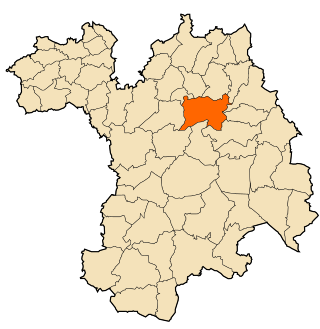
Tchirozerine is a department of the Agadez Region in Niger. Its capital lies at the city of Tchirozerine. As of 2011, the department had a total population of 328,018 people.
Akoubounou, or Akabinu in the local Tin Sert language, is a village located in the west to the town of Abalak, in the Tahoua Region of Niger.
Mabrouk or El Mabrouk is a village and rural commune in the Hodh Ech Chargui Region of south-eastern Mauritania.
Ajoueir is a village and rural commune in the Trarza Region of south-western Mauritania.
Taguilalett or Taguilalet is a village and rural commune in the Trarza Region of south-western Mauritania.
Aouleiguatt is a village and rural commune in the Trarza Region of south-western Mauritania.
Tchirozerine is a town and urban commune in Niger. As of 2011, the commune's population was 67,876.
Abala, Niger is a village and rural commune in Niger.
Bosso is a village and rural commune in Niger. As of 2011, the commune had a total population of 52,177 people. It lies on the Nigerian border.
Chetimari is a large village and rural commune in Niger, located along National Highway 1, several kilometres north of the Nigerian border. As of 2011, the commune had a population of 66,845.

Dannet is a village and rural commune in Niger. As of 2011, the commune had a population of 10,212 people.
Garhanga is a village and rural commune in Niger. It is located in the Keita Department of the Tahoua region. As of 2012, it has a population of 69,712.
Tamaske is a city and rural commune in Niger. It is located in the Keita Department, in the Tahoua Region.
Tarka, Niger is a village and rural commune in Niger. It is located in the Belbédji Departement of the Zinder Region. As of 2010 the commune had a population of 86,695.

Tassara is a village and rural commune in Niger.
Toumour is a village and rural commune in Niger located near the Niger–Nigeria border. As of 2011, the commune had a total population of 1336 people.
Yaouri is a village and rural commune in Matameye Department in Niger.
Beni Fouda is a town and commune in Sétif Province in north-eastern Algeria.
