| Water | |
|---|---|
 Burnley Road East, Water | |
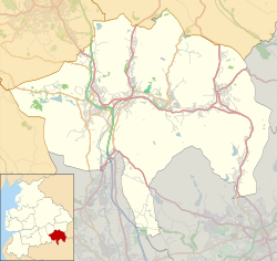 Water Location within Rossendale  Water Location within Lancashire | |
| Area | 0.2525 km2 (0.0975 sq mi) |
| Population | 835 (2020 estimate) |
| • Density | 3,307/km2 (8,570/sq mi) |
| District | |
| Shire county | |
| Region | |
| Country | England |
| Sovereign state | United Kingdom |
| Post town | ROSSENDALE |
| Postcode district | BB4 |
| Dialling code | 01706 |
| Police | Lancashire |
| Fire | Lancashire |
| Ambulance | North West |
| UK Parliament | |

Water is a hamlet in the borough of Rossendale, in Lancashire, England. Located north of the village of Lumb. It is mostly made of a few homes, farms, a bistro called "The Water Trough", [1] a primary school and industrial estates. [2] [3] In 2020 it had an estimated population of 835. [4]