| Cloughfold | |
|---|---|
 Bacup Road | |
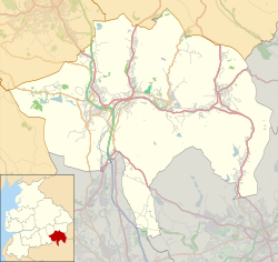 Cloughfold Location within Rossendale  Cloughfold Location within Lancashire | |
| OS grid reference | SD823227 |
| District | |
| Shire county | |
| Region | |
| Country | England |
| Sovereign state | United Kingdom |
| Post town | ROSSENDALE |
| Postcode district | BB4 |
| Dialling code | 01706 |
| Police | Lancashire |
| Fire | Lancashire |
| Ambulance | North West |
| UK Parliament | |
Cloughfold is a small hamlet in between the towns of Rawtenstall and Waterfoot in Rossendale, Lancashire, England.
Clough Fold railway station on the Rawtenstall to Bacup Line opened in 1871 and closed when the line closed in 1966.