| Stacksteads | |
|---|---|
 Acre Mill Baptist Church | |
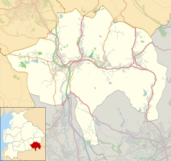 Stacksteads Location within Rossendale  Stacksteads Location within Lancashire | |
| Population | 3,789 (2011 census) |
| District | |
| Shire county | |
| Region | |
| Country | England |
| Sovereign state | United Kingdom |
| Post town | BACUP |
| Postcode district | OL13 |
| Dialling code | 01706 |
| Police | Lancashire |
| Fire | Lancashire |
| Ambulance | North West |
| UK Parliament | |
Stacksteads is a village between the towns of Bacup and Waterfoot within the Rossendale borough of Lancashire, England. The population of this Rossendale ward at the 2011 census was 3,789. [1] Stacksteads includes a mountain bike trail called Lee Quarry which had originally been a working quarry.
Contents
It is part of the Rossendale and Darwen constituency, with Andy MacNae becoming Member of Parliament in 2024.